

Viac o knihe
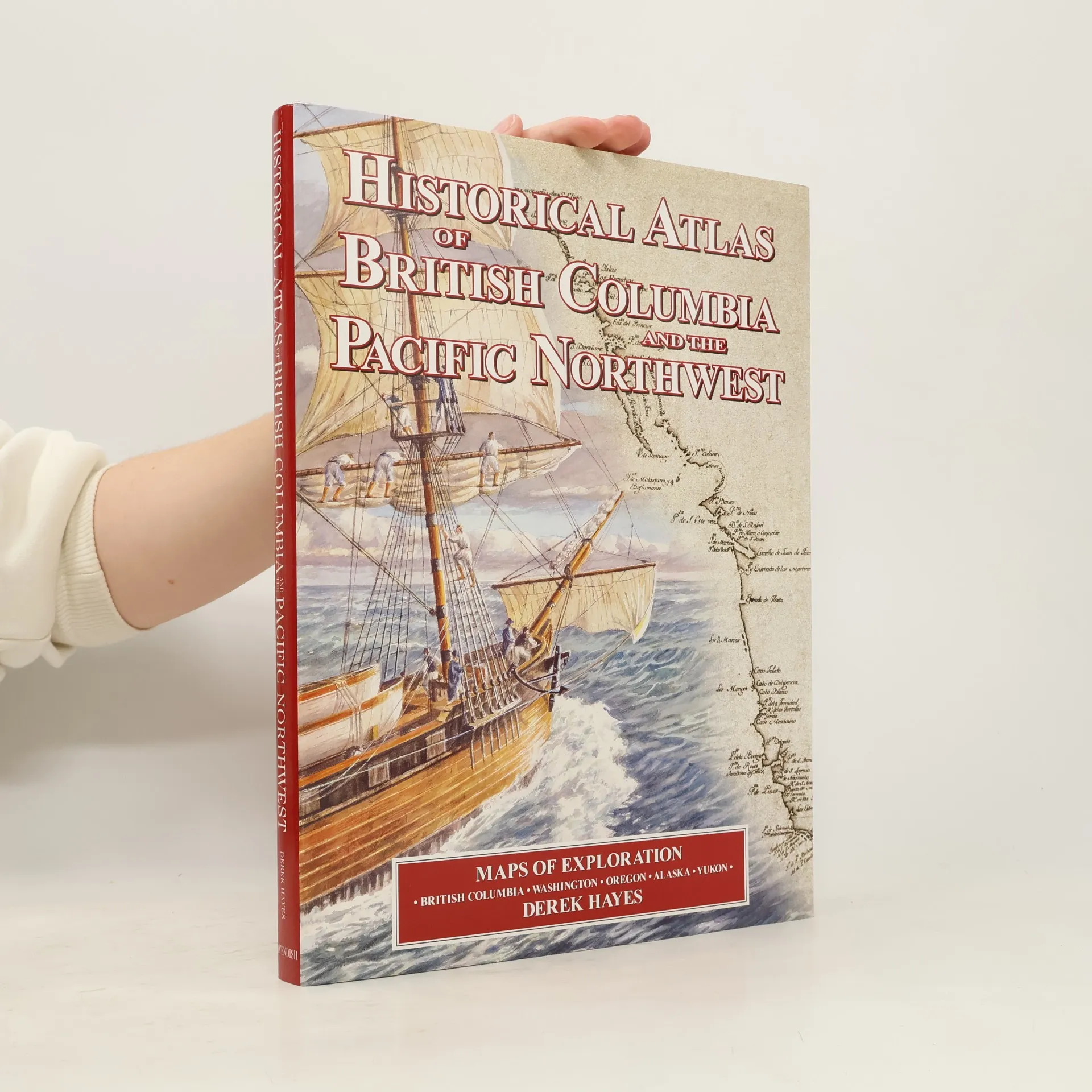
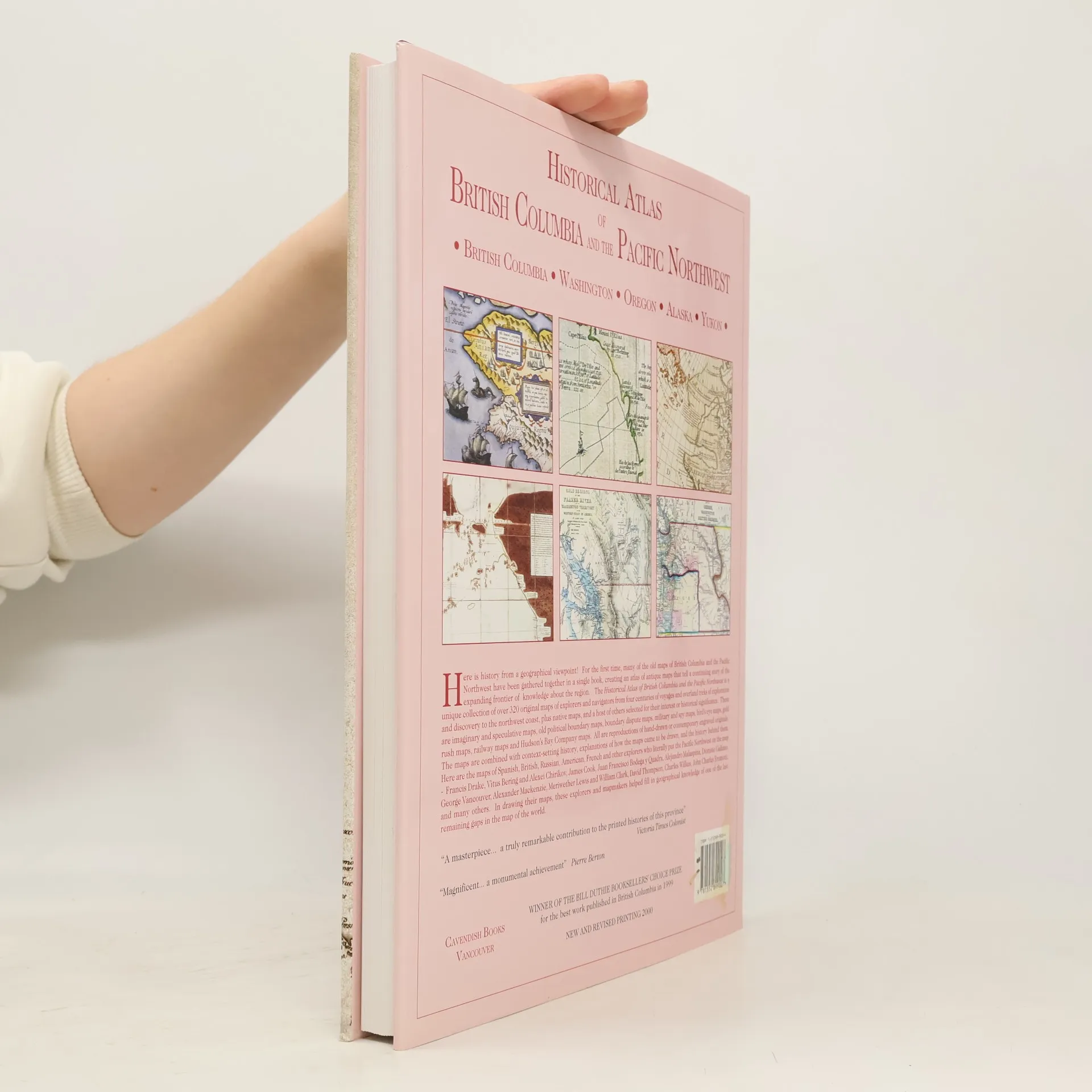
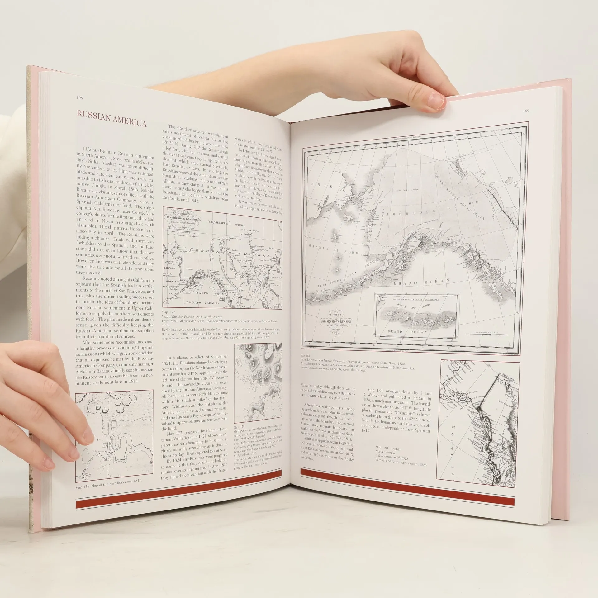
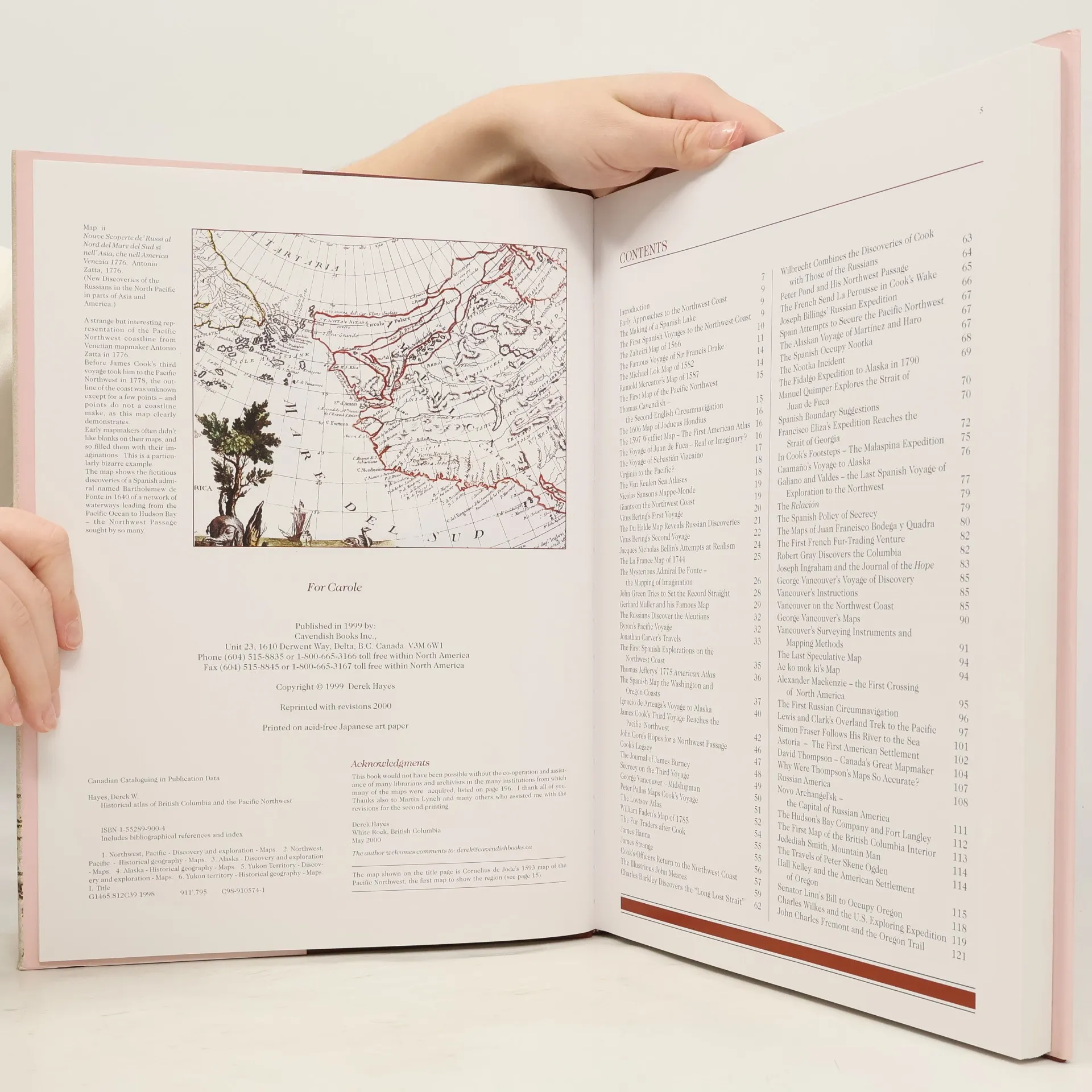
Here is history from a geographical viewpoint! For the first time, many of the old maps of British Columbia and the Pacific Northwest have been gathered together in a single book, creating an atlas of antique maps that tell a continuing story of the expanding frontier of knowledge about the region. The Historical Atlas of British Columbia and the Pacific Northwest is a unique collection of over 320 original maps of explorers and navigators from four centuries of voyages and overland treks of exploration and discovery to the northwest coast, plus native maps, and a host of others selected for their interest or historical significance. There are imaginary and speculative maps, old political boundary maps, boundary dispute maps, military and spy maps, bird s eye maps, gold rush maps, railway maps and Hudson s Bay Company maps. All are reproductions of hand-drawn or contemporary engraved originals. The maps are combined with context-setting history, explanations of how the maps came to be drawn, and the history behind them. Here are the maps of Spanish, British, Russian, American, French and other explorers who literally put the Pacific Northwest on the map - Francis Drake, Vitus Bering and Alexei Chirikov, James Cook, Juan Francisco Bodega y Quadra, Alejandro Malaspina, Dionisio Galiano, George Vancouver, Alexander Mackenzie, Meriwether Lewis and William Clark, David Thompson, Charles Wilkes, John Charles Fremont, and many others. In drawing their maps, these explorers and mapmakers helped fill in geographical knowledge of one of the last remaining gaps in the map of the world. A unique and stunning new perspective on the history of British Columbia and the Pacific Northwest. The Historical Atlas of British Columbia and the Pacific Northwest contains high quality reproductions of 335 original maps, with over 235 covering the territory which is now British Columbia. Of the 335 old maps, 180 are in colour and 155 in (usually original) black and white; there are 60 other illustrations, including modern colour photographs and black and white historical photographs and engravings; 27 are in colour, 33 in black and white. The book is printed on acid-free Japanese matt art paper, for a beautiful and enduring addition to your library. About the Author: Derek Hayes has collected and researched old maps of the Pacific Northwest for many years. He traveled to archives and libraries all over the world in order to compile the maps illustrated in the Historical Atlas of British Columbia and the Pacific Northwest.
Nákup knihy
Historical Atlas of British Columbia and the Pacific Northwest, Derek Hayes
- Jazyk

- Rok vydania
- 2000
- Väzba
- (pevná),
- Stav knihy
- Dobrá
- Cena
- 22,99 €
Nikto zatiaľ neohodnotil.
- Titul
- Historical Atlas of British Columbia and the Pacific Northwest
- Jazyk
- anglicky
- Autori
- Derek Hayes
- Vydavateľ
- Cavendish Books
- Rok vydania
- 2000
- Väzba
- pevná
- Počet strán
- 208
- ISBN10
- 1552899004
- ISBN13
- 9781552899007
- Série
- Štítky
- Príručky a návody, Veda, Geológia, Kartografia, Americana
- Anotácia
- Here is history from a geographical viewpoint! For the first time, many of the old maps of British Columbia and the Pacific Northwest have been gathered together in a single book, creating an atlas of antique maps that tell a continuing story of the expanding frontier of knowledge about the region. The Historical Atlas of British Columbia and the Pacific Northwest is a unique collection of over 320 original maps of explorers and navigators from four centuries of voyages and overland treks of exploration and discovery to the northwest coast, plus native maps, and a host of others selected for their interest or historical significance. There are imaginary and speculative maps, old political boundary maps, boundary dispute maps, military and spy maps, bird s eye maps, gold rush maps, railway maps and Hudson s Bay Company maps. All are reproductions of hand-drawn or contemporary engraved originals. The maps are combined with context-setting history, explanations of how the maps came to be drawn, and the history behind them. Here are the maps of Spanish, British, Russian, American, French and other explorers who literally put the Pacific Northwest on the map - Francis Drake, Vitus Bering and Alexei Chirikov, James Cook, Juan Francisco Bodega y Quadra, Alejandro Malaspina, Dionisio Galiano, George Vancouver, Alexander Mackenzie, Meriwether Lewis and William Clark, David Thompson, Charles Wilkes, John Charles Fremont, and many others. In drawing their maps, these explorers and mapmakers helped fill in geographical knowledge of one of the last remaining gaps in the map of the world. A unique and stunning new perspective on the history of British Columbia and the Pacific Northwest. The Historical Atlas of British Columbia and the Pacific Northwest contains high quality reproductions of 335 original maps, with over 235 covering the territory which is now British Columbia. Of the 335 old maps, 180 are in colour and 155 in (usually original) black and white; there are 60 other illustrations, including modern colour photographs and black and white historical photographs and engravings; 27 are in colour, 33 in black and white. The book is printed on acid-free Japanese matt art paper, for a beautiful and enduring addition to your library. About the Author: Derek Hayes has collected and researched old maps of the Pacific Northwest for many years. He traveled to archives and libraries all over the world in order to compile the maps illustrated in the Historical Atlas of British Columbia and the Pacific Northwest.