

Parametre
- 488 stránok
- 18 hodin čítania
Viac o knihe
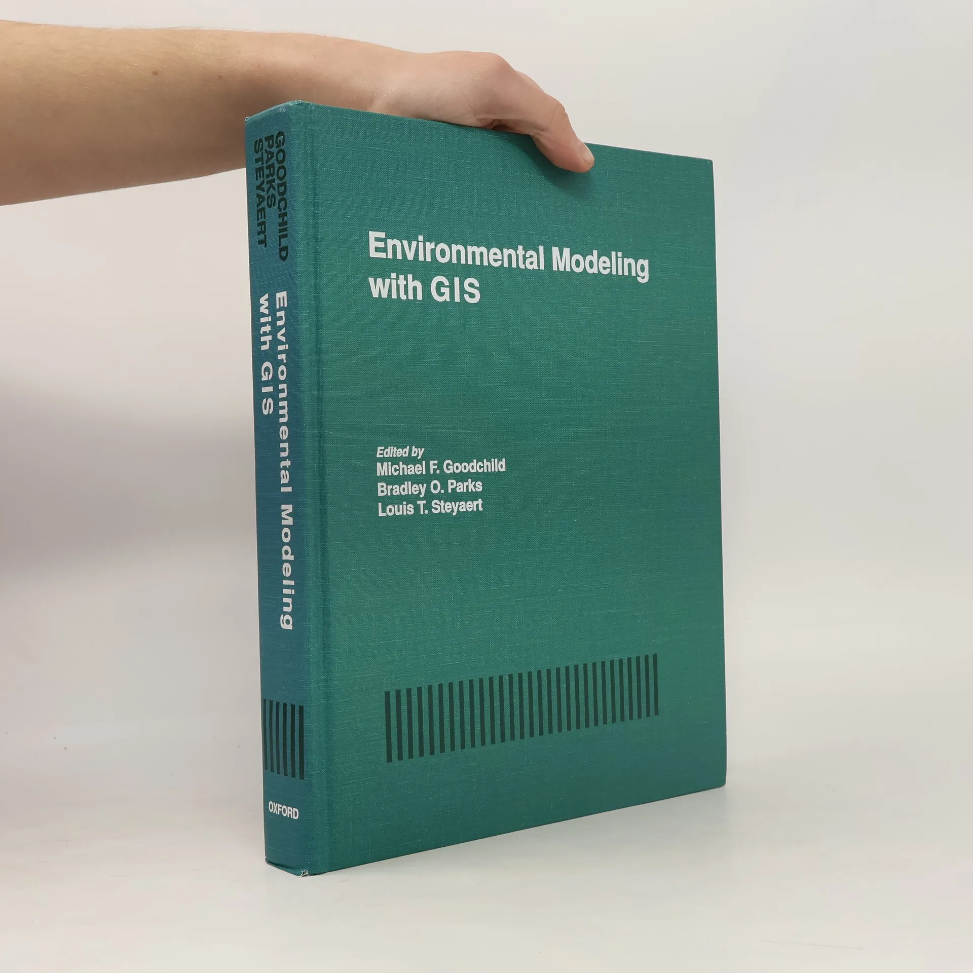
This book is for researchers, academics, and professionals with geographic information systems (GIS) experience who need to know more about environmental modeling. It is also intended for environmental modelers who want to know more about GIS, its advantages, and its problems. The first partof the book describes the state of the art in GIS, environmental modeling, spatial statistics, and spatial databases. The second part reviews the state of integration in each of the major "process" areas, ranging from atmospheric to subsurface. Each section includes an overview chapter and casestudies. This book will be useful to planners in federal agencies (EPA, DOE, USGS, Parks Service, etc.), academic researchers, environmental consultants, and as a text for advanced GIS courses.
Nákup knihy
Environmental Modeling with GIS, Michael F Goodchild, Louis T. Steyaert, Bradley O. Parks
- Jazyk

- Rok vydania
- 1993
- Väzba
- (pevná)
Tu nám chýba tvoja recenzia
- Titul
- Environmental Modeling with GIS
- Jazyk
- anglicky
- Vydavateľ
- Oxford University Press
- Rok vydania
- 1993
- Väzba
- pevná
- Počet strán
- 488
- ISBN10
- 0195080076
- ISBN13
- 9780195080070
- Série
- Kategórie
- Štítky
- Prírodné vedy, Veda, USA, Odborná literatúra, Environmentalistika, Spracovanie dát, Geografické informačné systémy
- Hodnotenie
- 4,5 z 5
- Anotácia
- This book is for researchers, academics, and professionals with geographic information systems (GIS) experience who need to know more about environmental modeling. It is also intended for environmental modelers who want to know more about GIS, its advantages, and its problems. The first partof the book describes the state of the art in GIS, environmental modeling, spatial statistics, and spatial databases. The second part reviews the state of integration in each of the major "process" areas, ranging from atmospheric to subsurface. Each section includes an overview chapter and casestudies. This book will be useful to planners in federal agencies (EPA, DOE, USGS, Parks Service, etc.), academic researchers, environmental consultants, and as a text for advanced GIS courses.