

Viac o knihe
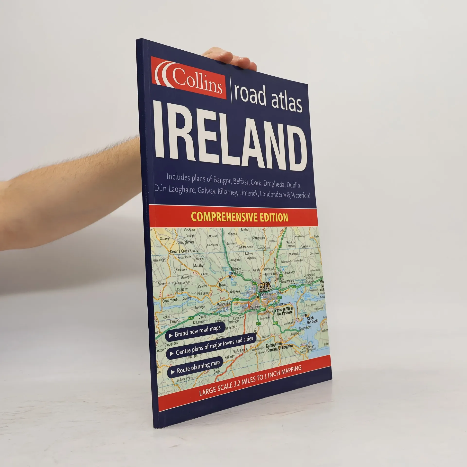
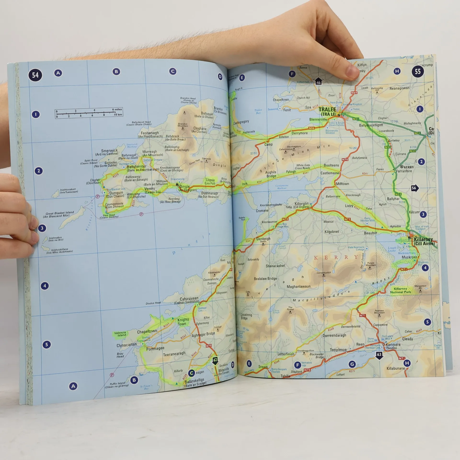
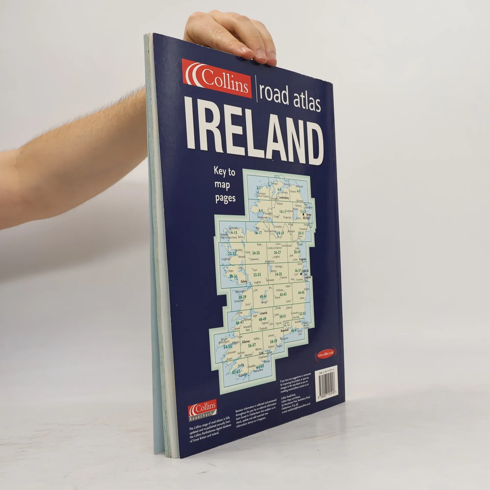
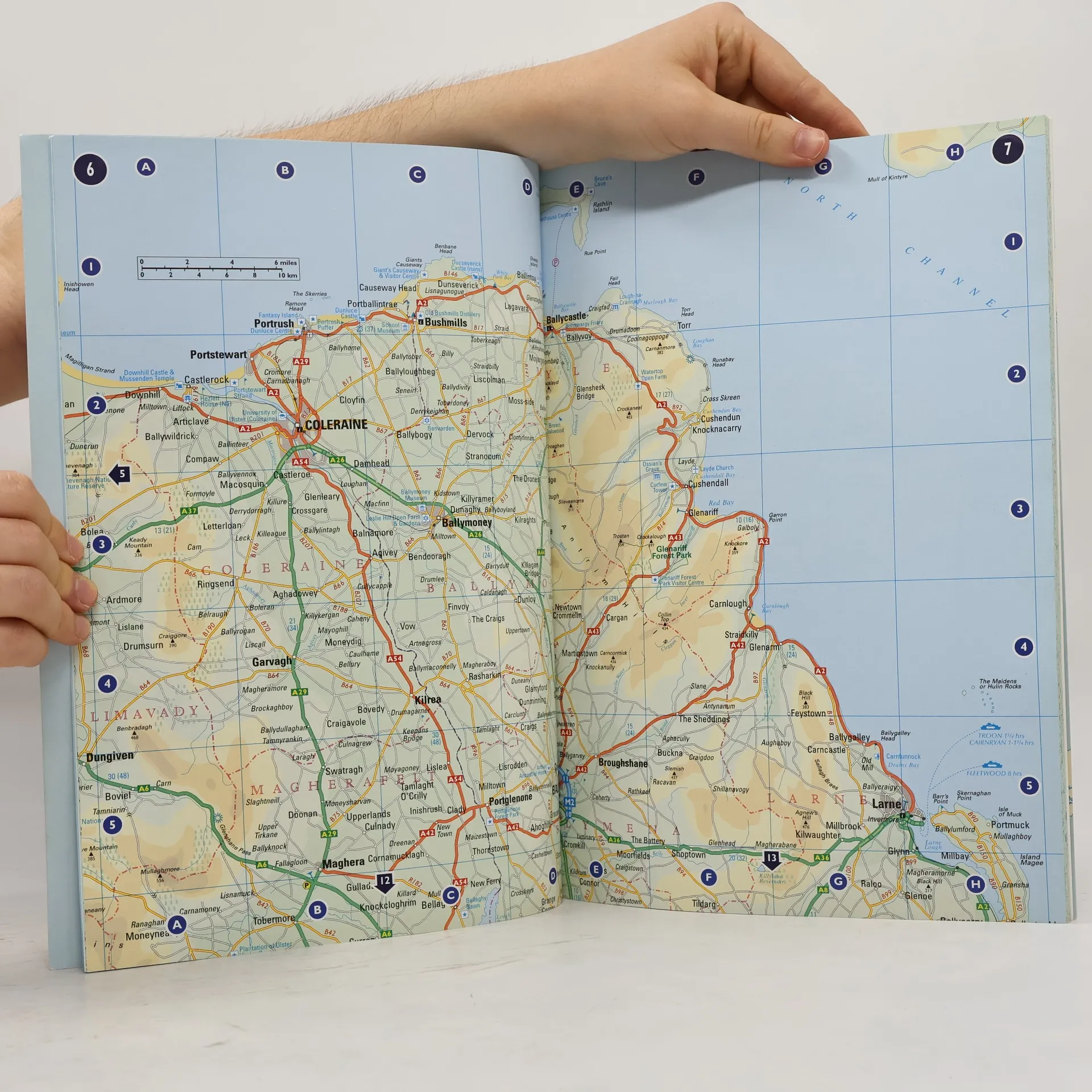
A general purpose map for those who want a high level of mapping detail at a variety of scales, covering the whole of the Republic of Ireland plus Northern Ireland Clear, detailed road mapping of Ireland is presented in this road atlas featuring attractive layer coloring to show land height. The atlas contains a range of mapping scales, including a 9 miles to 1 inch route-planning map, main maps at 3.2 miles to 1 inch which are ideal for navigation, plus a wide selection of detailed town-center street plans. It includes the location of safety cameras and also speed enforcement zones, which highlight roads that have a high risk of accidents as identified by the Garda and the National Roads Authority. It also features Blue Flag and Green Coast beaches, which have been evaluated for their water quality and safety, and, in the case of Blue Flag beaches, for such amenities as lifeguards and toilets. The wide range of fully indexed town- and city-center maps cover Bangor, Belfast, Cork, Drogheda, Dublin, Dun Laoghaire, Galway, Kilkenny, Killarney, Limerick, Lisburn, Londonderry (Derry), Newry, Newtownabbey, and Waterford. There is also comprehensive guide information for visitors to Belfast, Cork, Dublin, and Limerick.
Nákup knihy
Comprehensive Road Atlas Ireland,
- Jazyk

- Rok vydania
- 2005
- Väzba
- (mäkká),
- Stav knihy
- Poškodená
- Cena
- 6,78 €
Doručenie
Platobné metódy
Nikto zatiaľ neohodnotil.
- Titul
- Comprehensive Road Atlas Ireland
- Jazyk
- anglicky
- Autori
- Vydavateľ
- Collins
- Rok vydania
- 2005
- Väzba
- mäkká
- Počet strán
- 100
- ISBN10
- 000719191X
- ISBN13
- 9780007191918
- Série
- Štítky
- Cestovanie, Írsko, Atlasy
- Anotácia
- A general purpose map for those who want a high level of mapping detail at a variety of scales, covering the whole of the Republic of Ireland plus Northern Ireland Clear, detailed road mapping of Ireland is presented in this road atlas featuring attractive layer coloring to show land height. The atlas contains a range of mapping scales, including a 9 miles to 1 inch route-planning map, main maps at 3.2 miles to 1 inch which are ideal for navigation, plus a wide selection of detailed town-center street plans. It includes the location of safety cameras and also speed enforcement zones, which highlight roads that have a high risk of accidents as identified by the Garda and the National Roads Authority. It also features Blue Flag and Green Coast beaches, which have been evaluated for their water quality and safety, and, in the case of Blue Flag beaches, for such amenities as lifeguards and toilets. The wide range of fully indexed town- and city-center maps cover Bangor, Belfast, Cork, Drogheda, Dublin, Dun Laoghaire, Galway, Kilkenny, Killarney, Limerick, Lisburn, Londonderry (Derry), Newry, Newtownabbey, and Waterford. There is also comprehensive guide information for visitors to Belfast, Cork, Dublin, and Limerick.