Bookbot

Barrie Stuart Trinder

    1. január 1939
    Bilston 1884
    Nottingham (Arnold & Daybrook) 1899
    Ashbourne, Cheadle and District 1895
    Beyond the Bridges: The Suburbs of Shrewsbury 1760-1960
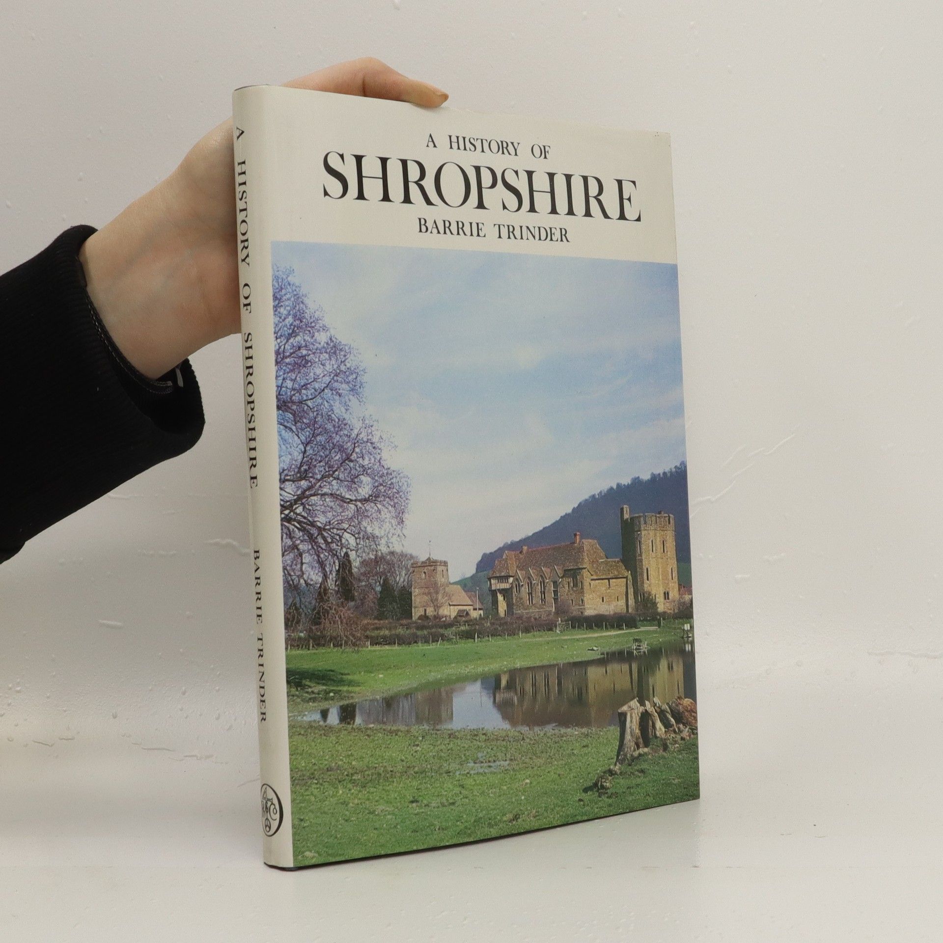
    A History of Shropshire
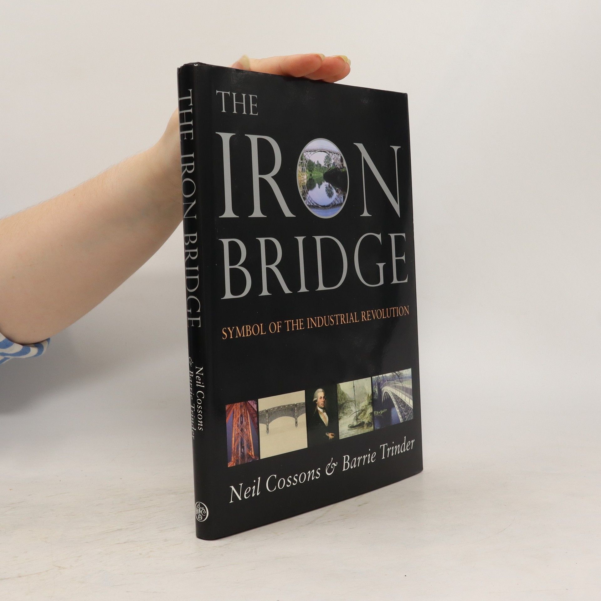
    The Iron Bridge
    • The Iron Bridge

      • 144 stránok
      • 6 hodin čítania

      The first bridge ever to be built of iron, in 1779, is perhaps the most important industrial monument in Britain. The bridge changed the pattern of communications in its area, and attracted thousands of sightseers. The first book with this title marked the bicentenary in 1979, explaining the conception, design, and construction of the bridge and its social impact. However, since then, so much new evidence has required a completely new account. Of the iron bridges built in the half century after 1781, this book identifies nearly twice as many as the first edition. The definitive history by the two authors best qualified to write it.
      The Iron Bridge
    • The book explores the evolution of Shrewsbury, a city characterized by its striking churches and historical architecture, as it expanded beyond its medieval boundaries in the mid-18th century. It details the development of various residential areas, from elegant villas to worker housing, and the emergence of 20th-century estates designed for returning veterans. Shrewsbury serves as a compelling case study of suburban growth, balancing both diversity and preservation of its rich suburban heritage.

      Beyond the Bridges: The Suburbs of Shrewsbury 1760-1960
    • Detailed map of Nottingham (Arnold & Daybrook). Notts Sheet 38.06. Introduction by Barrie Trinder. This very detailed map covers Daybrook and part of Arnold, north of Nottingham. Coverage runs from Front Street Arnold westward toSunrise Farm and Sunrise Hill, and from Redhill Farm southward to Daybrook station. Features include the Front Street and High Street area of Arnold, Arnot Hill, Home Brewery, GNR railway with Daybrook station, Daybrook Works, St Paul's church, Cherryhill, White Hart pub, cemetery, Goodwood House, chapels etc. On the reverse we include an 1891 directory of Arnold.

      Nottingham (Arnold & Daybrook) 1899
    • Detailed map of Bilston; Staffs sheet 62.16a. Historical introduction by Barrie Trinder. Most of the town of Bilston is covered on the map. Other features on the 1884 map include Bankfield Iron Works, Bradley Iron & Tin Works, Bradley Field Iron Works, Regent Iron Works, Bradley Lodge Colliery, Fiery Holes, Barbor's Field Furnaces, Capponfield Iron Works, Factory Iron Works, Bilston Quarries, Bilston Foundry, Bovereux Furnaces (disused), The Lune, Mount Pleasant area, town centre with individual buildings shown, tramway, Birmingham Canal, GWR railway with station, GWR (OWW Branch) with station, Broad Lanes Colliery, Finneywell Colliery, Lunt Colliery, Town Hall, Market Place etc.

      Bilston 1884
    • Kent Sheet 38.01 Ramsgate 1905 - published 2009; intro by Barrie Trinder. ISBN.978-1-84784-324-1 This detailed and busy map covers most of central Ramsgate, with coverage stretching from Ellington Park eastward to the coast, and from the cemetery southward to Nelson Crescent. Features include Town station, Harbour terminus, Granville Hotel, St George's church, malthouses, brewery, Royal Victoria Pavilion, Marina Pier, part of harbour, Albion Place Gardens, South Eastern College, Holy Trinity church, St Mary's church, Christ Church, St Catherine's Hospital, Chatham House School, Hereson area, Elms area, Coastguard Station, Eastcliff Lodge, tramways etc.

      Ramsgate 1905