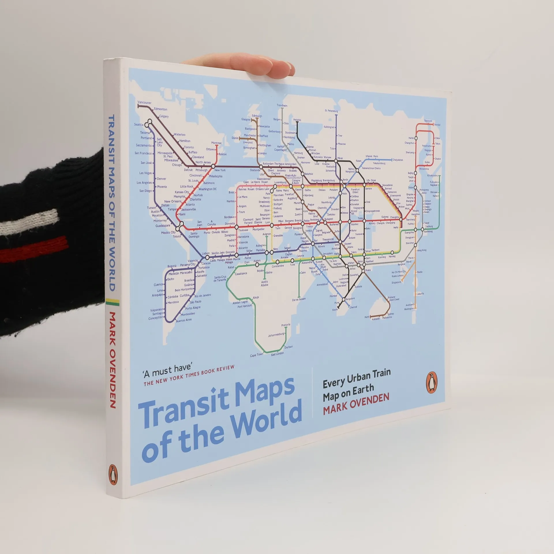
Transit Maps of the World
- 176 stránok
- 7 hodin čítania
A beautifully illustrated study of the plans that help passengers navigate the world's metropolitan railway systems The Times


A beautifully illustrated study of the plans that help passengers navigate the world's metropolitan railway systems The Times
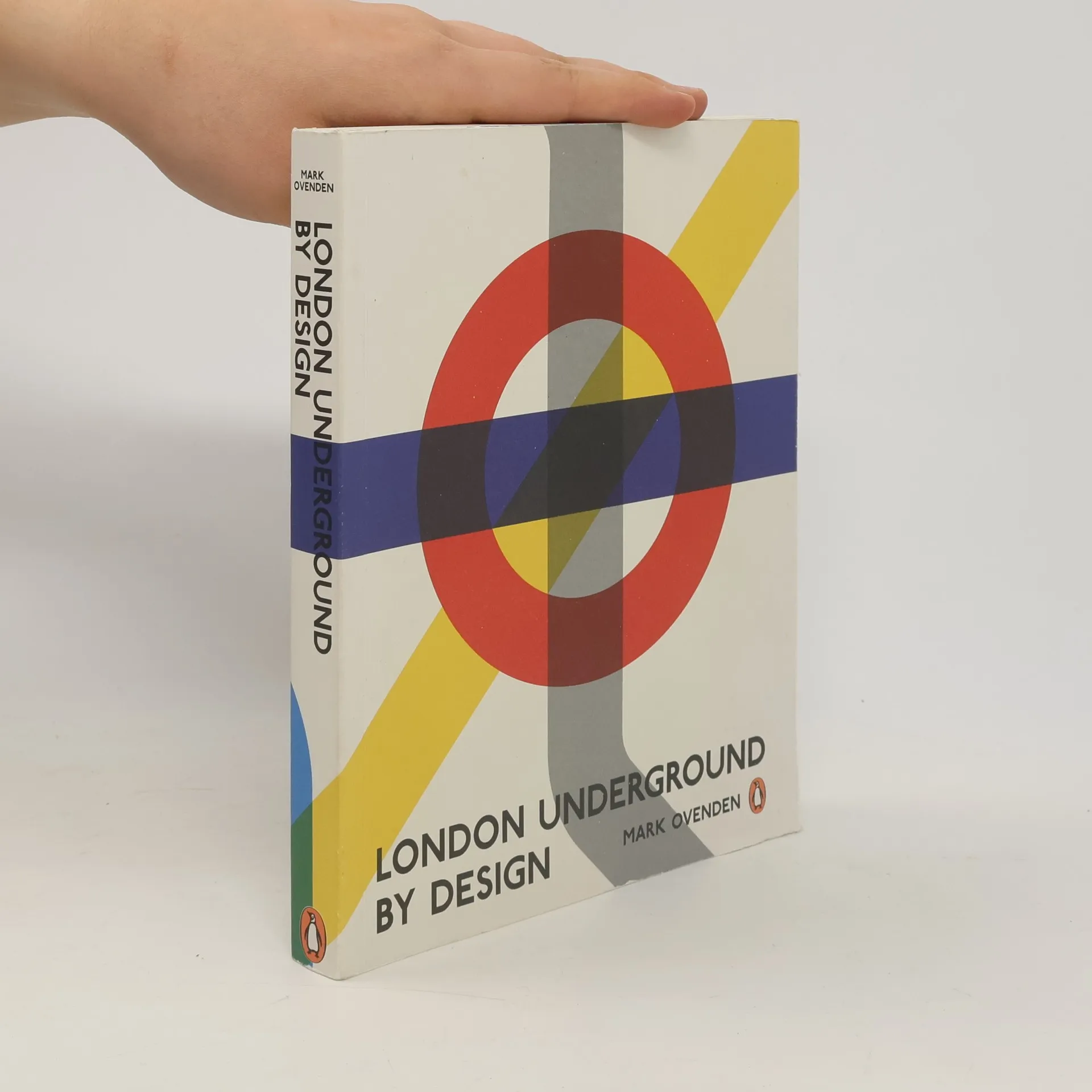
Beginning in the pioneering Victorian age, the author charts the evolution of architecture, branding, typeface, map design, interior and textile styles, posters, signage and graphic design and how these came together to shape the Underground's identity, and the character of London itself.
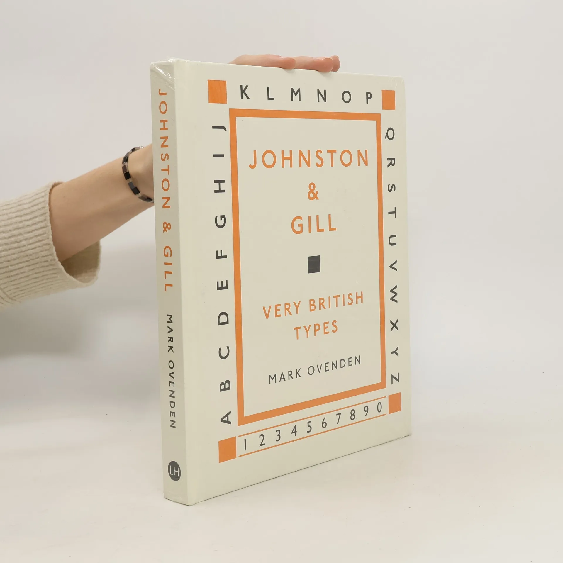
Edward Johnston (1872-1944) and Eric Gill (1882-1940) were originators of two of the world's most enduring typefaces. Johnston still stands as London's primary 'wayfinding' lettering, while Gill Sans is the type of choice within many public and private organisations across the UK today. This book celebrates their significant contribution to Britain's visual culture.
Ikonische Designs von Berlin bis Tokio - Metro, Subway, Tube, U-Bahn, S-Bahn, Stadtbahn, Tram – 160 Jahre Designgeschichte in 390 Netzplänen, Fotos und Grafiken
"Going Underground!" ist eine visuelle Entdeckungsreise durch 50 faszinierende Städte weltweit, präsentiert von Bahnexperte Mark Ovenden. Mit historischen und aktuellen Netzplänen von Metro, U-Bahn und Tram bietet das Buch einen Einblick in die Verkehrsgeschichte und das Design, gegliedert nach Kontinenten. Ein Muss für Reisende und U-Bahn-Fans!