

Viac o knihe
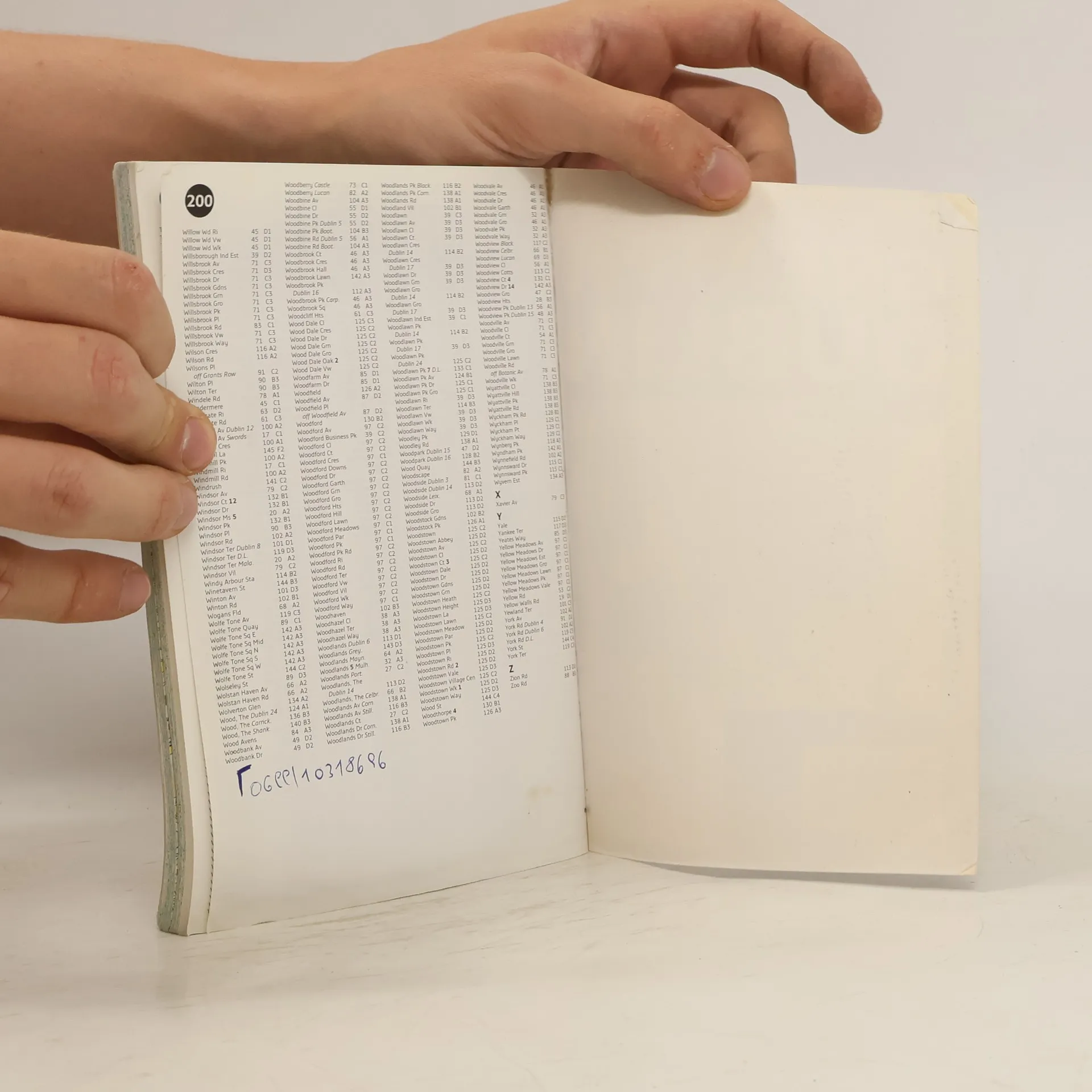
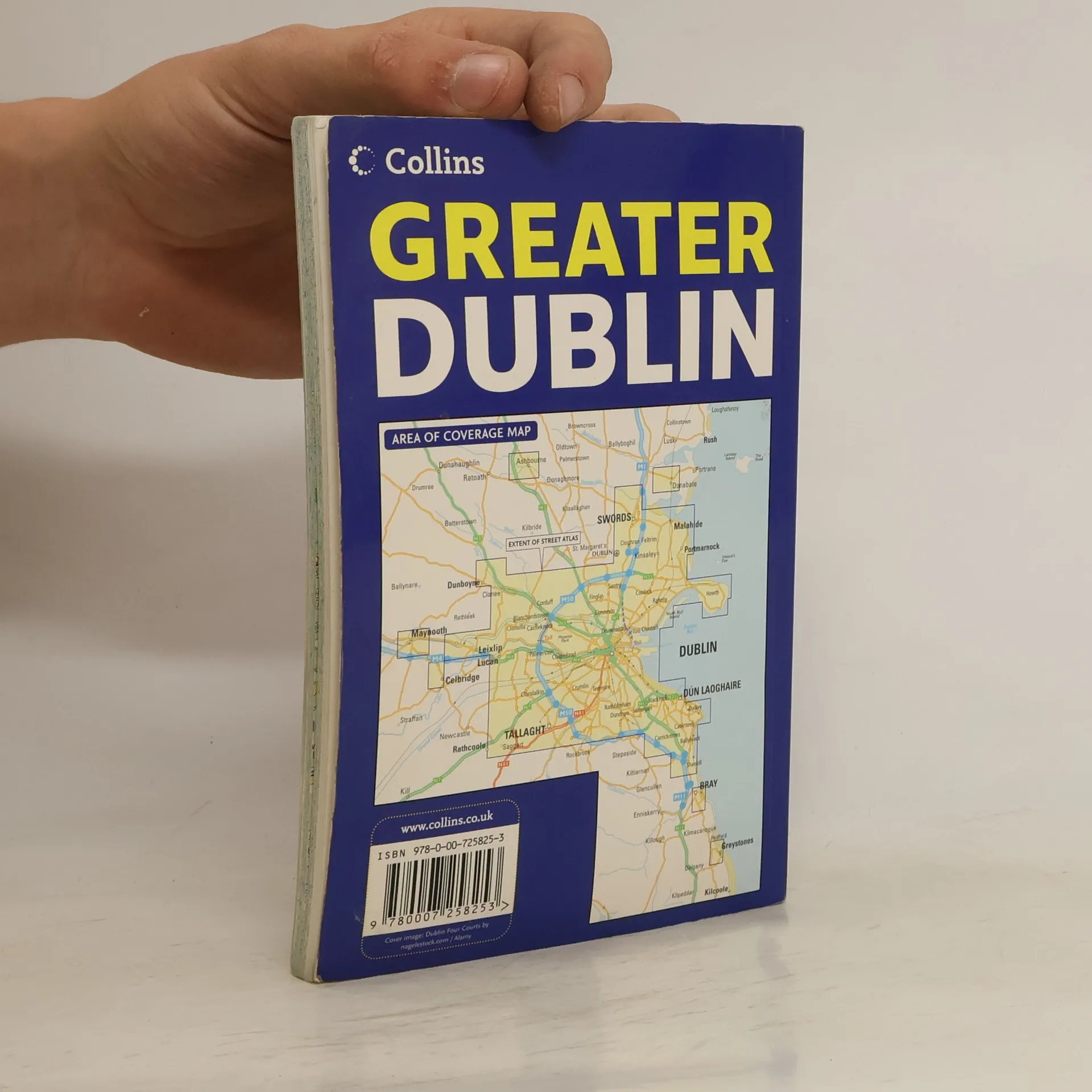
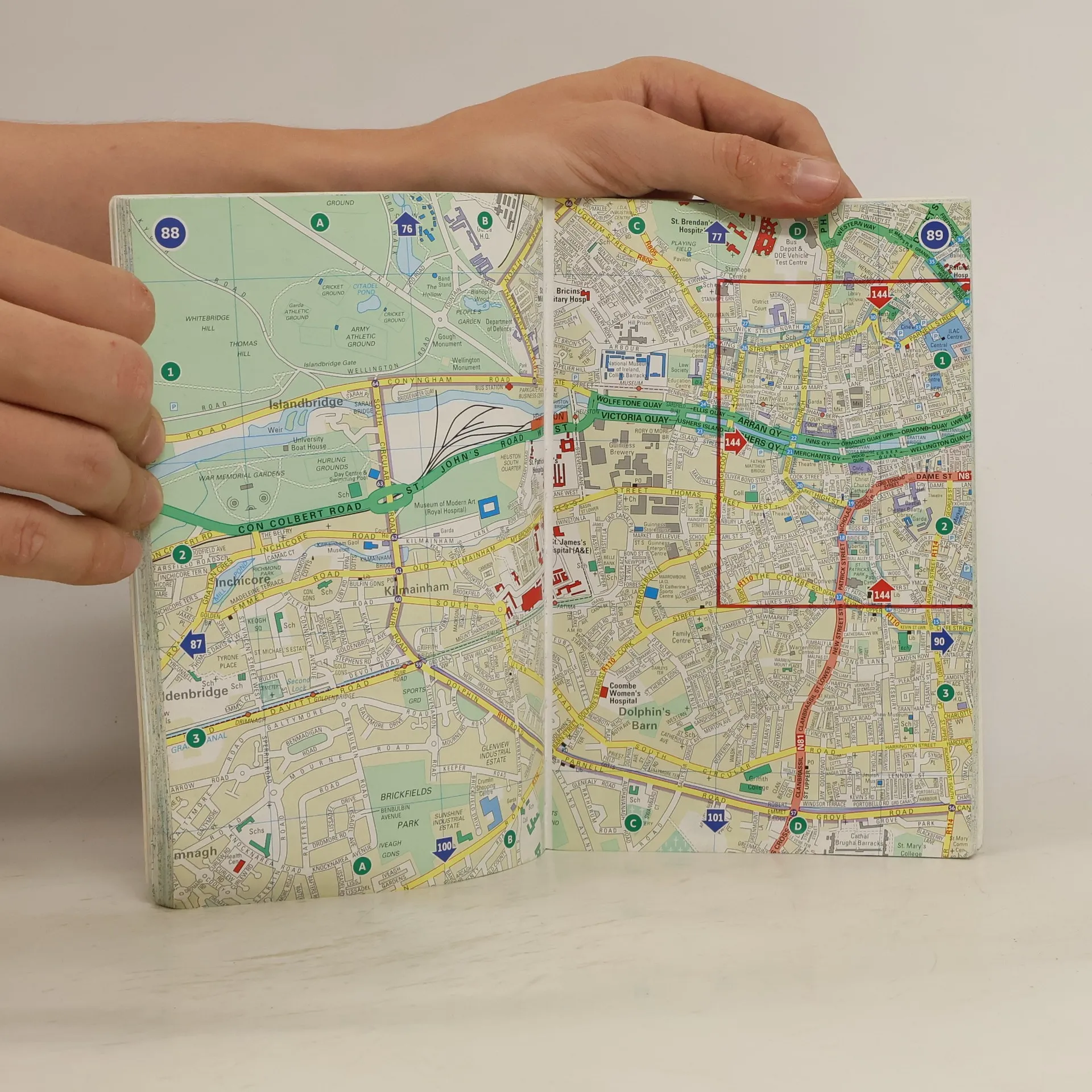
Scale 4 inches to 1 mile. Clear, detailed street mapping of Greater Dublin, all fully indexed. The land use has been colour coded to aid use. MAIN FEATURES A handy format street atlas of Greater Dublin with clear, detailed street mapping. The area of mapping for this 2007 edition has been extended to the west to include Maynooth and the new development at Adamstown. INCLUDES · Clear colour coded street mapping. · Places of interest shown. · Full index to street names. · Local information gives phone numbers and addresses of local facilities such as hospitals, theatres etc. AREA OF COVERAGE Covers a large area of Dublin and its surrounding area including Swords, Greystones, Clonee and Malahide, Maynooth, Leixlip, Rathcoole, Ashbourne and Adamstown. WHO THE PRODUCT IS OF INTEREST TO An ideal purchase for local residents and businesses.
Nákup knihy
Greater Dublin Handy Streetfinder Atlas, Collins UK
- Vpisky / podtrhávanie
- Jazyk

- Rok vydania
- 2007
- product-detail.submit-box.info.binding
- (mäkká),
- Stav knihy
- Poškodená
- Cena
- 1,65 €
Platobné metódy
Nikto zatiaľ neohodnotil.