

Presne táto pôjde do košíka
Viac o knihe
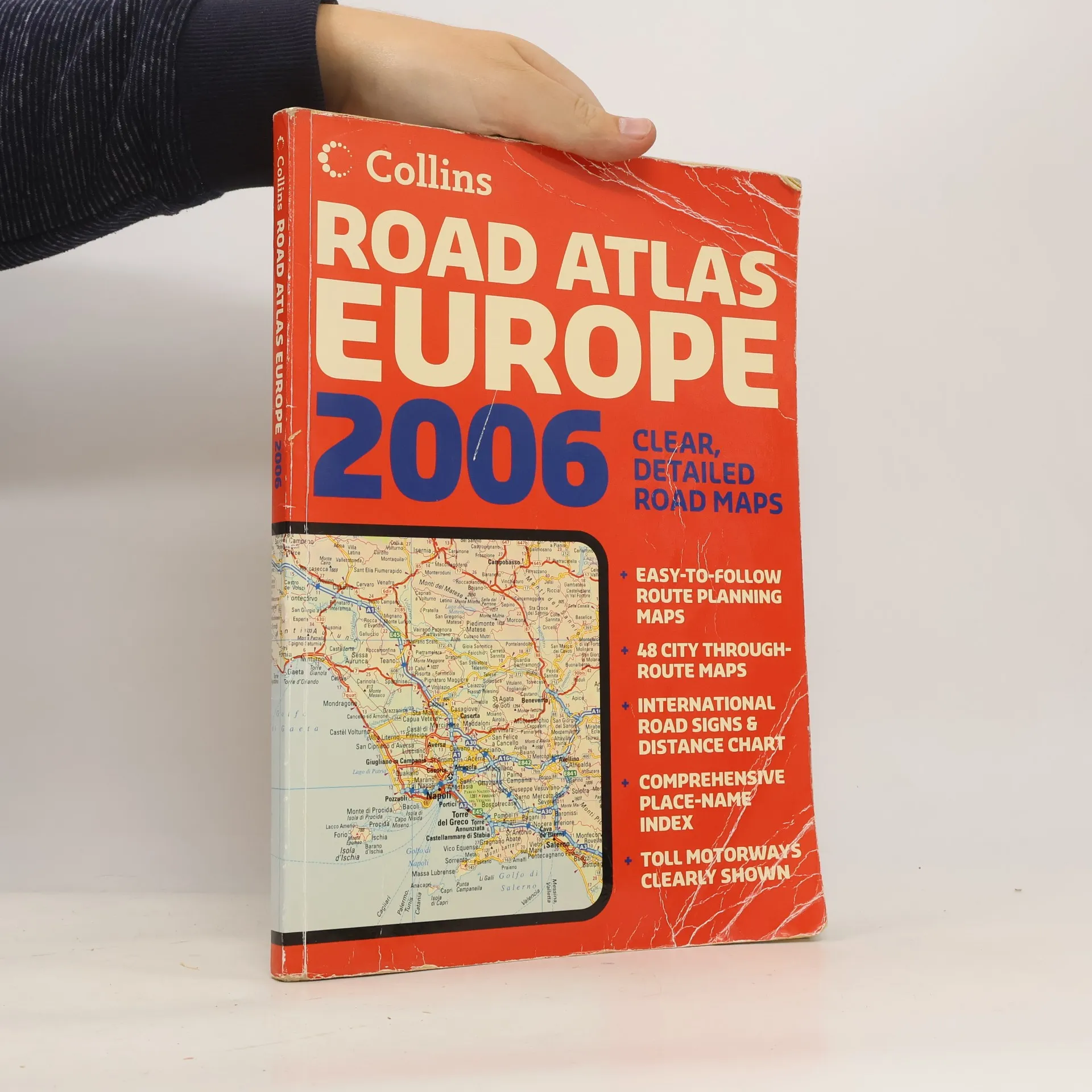
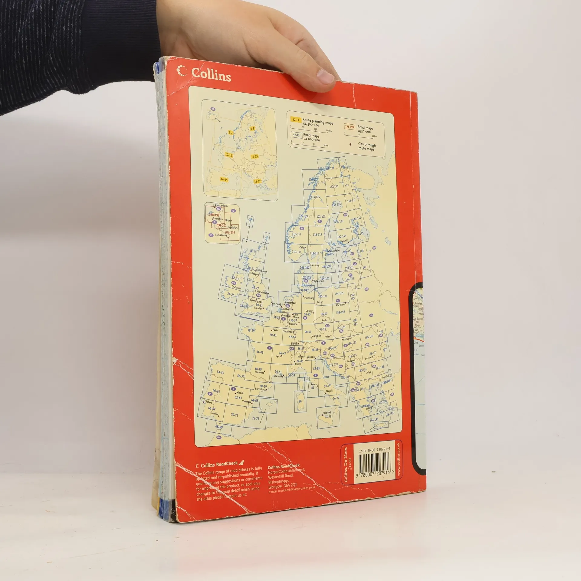
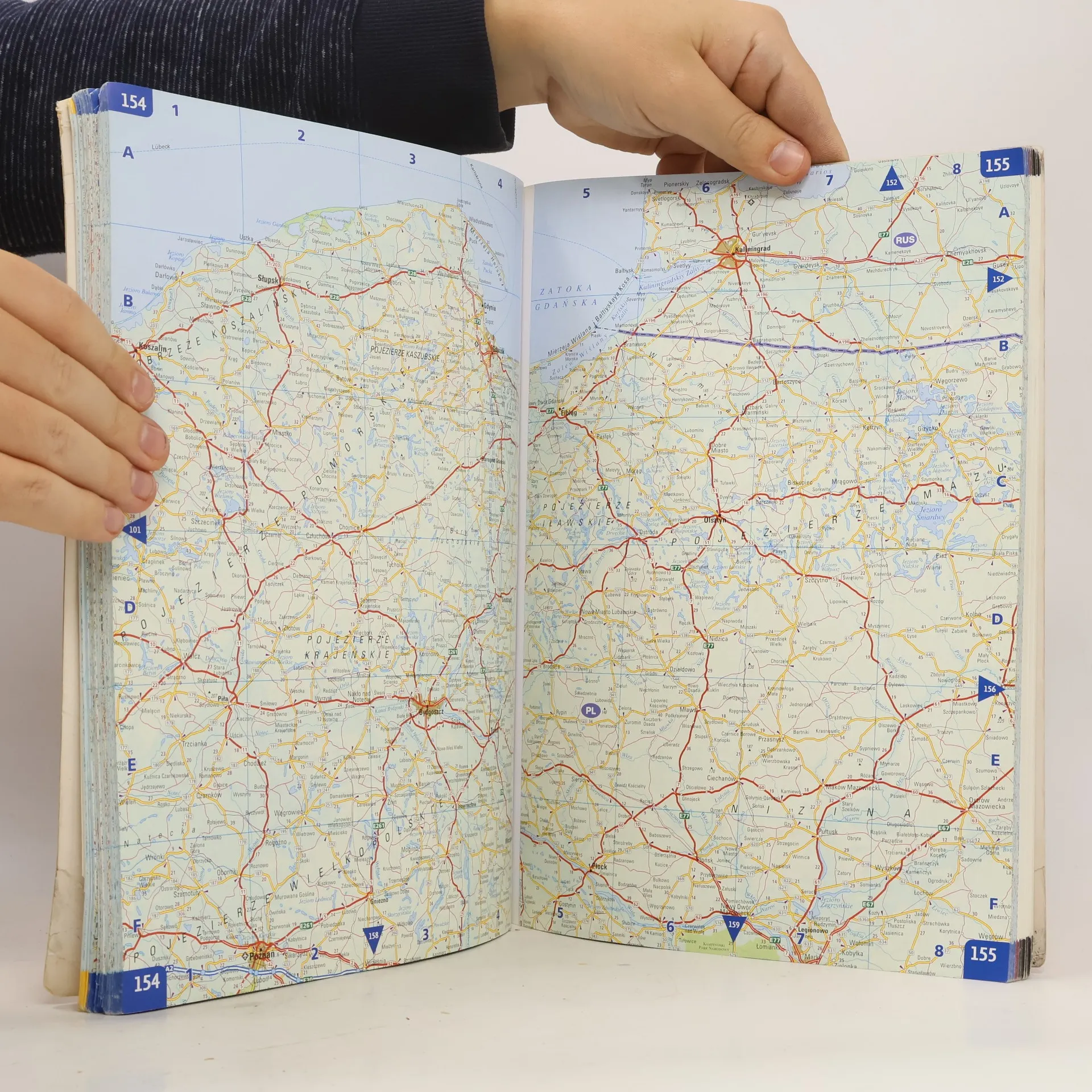
A4 formatScale 1:1 000 000 (1 cm to 10 kms / 1 inch to 16 miles)A fully revised edition of A4 paperback road atlas containing road mapping, route planning maps, large scale road maps of the Ruhr and Rhine, city through route maps and a comprehensive place names index.
Nákup knihy
Collins Road Atlas Europe 2006,
- Jazyk
- Rok vydania
- 2006
- Väzba
- (mäkká),
- Stav knihy
- Poškodená
- Cena
- 6,09 €
Doručenie
Platobné metódy
Nikto zatiaľ neohodnotil.
- Titul
- Collins Road Atlas Europe 2006
- Podtitul
- Clear, Detailed Road Maps - Easy-To-Follow Route Planning Maps - 48 City Through-Route Maps - International Road Signs & Distance Chart - Comprehensive Place-Name Index - Toll Motorways Clearly Shown
- Autori
- Vydavateľ
- Collins
- Rok vydania
- 2006
- Väzba
- mäkká
- Počet strán
- 280
- ISBN10
- 0007207913
- ISBN13
- 9780007207916
- Série
- Štítky
- Cestovanie, Príručky a návody, Európa, Atlasy, Autoatlasy
- Anotácia
- A4 formatScale 1:1 000 000 (1 cm to 10 kms / 1 inch to 16 miles)A fully revised edition of A4 paperback road atlas containing road mapping, route planning maps, large scale road maps of the Ruhr and Rhine, city through route maps and a comprehensive place names index.