Filtre
€
-€
-
Celkom 500+ titulov
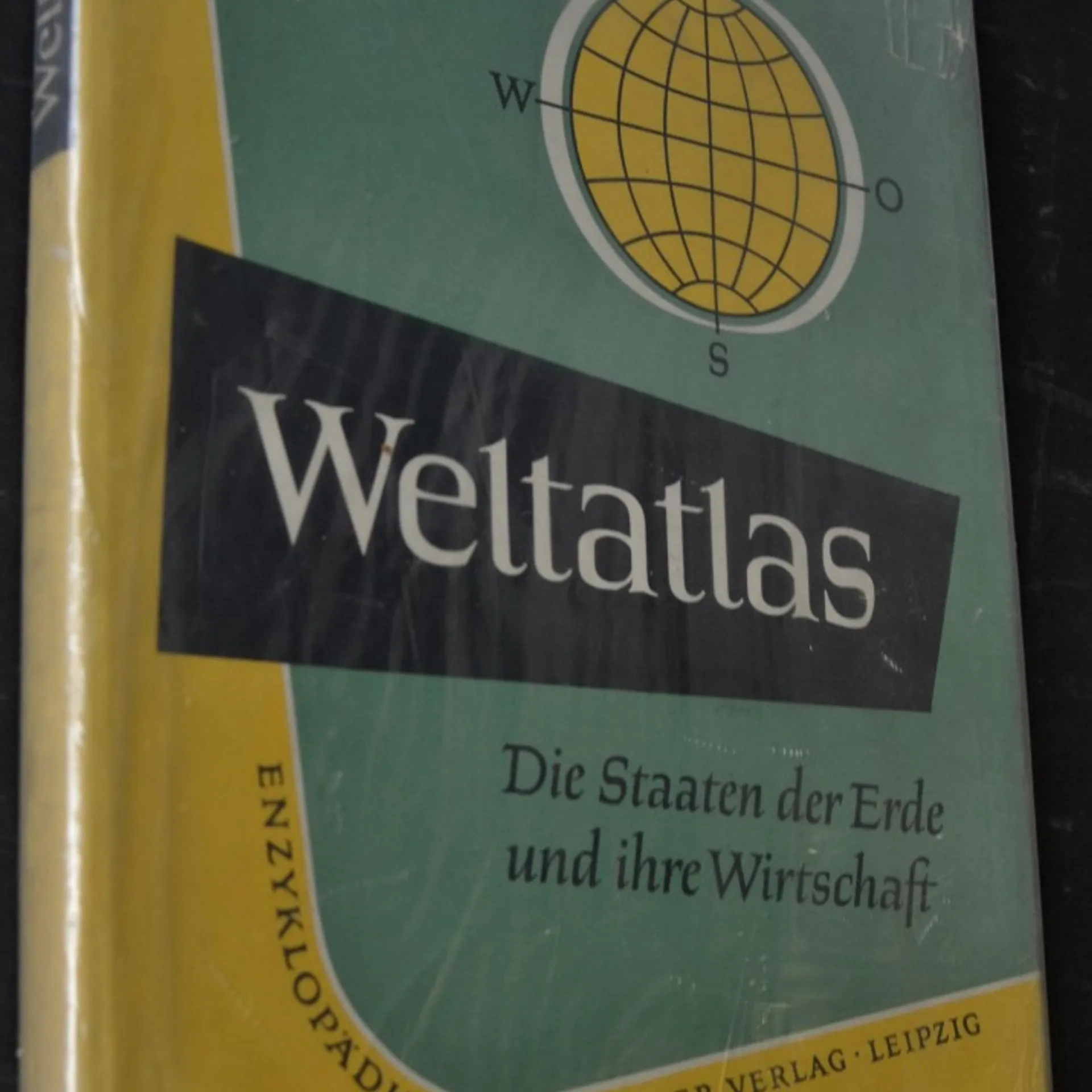
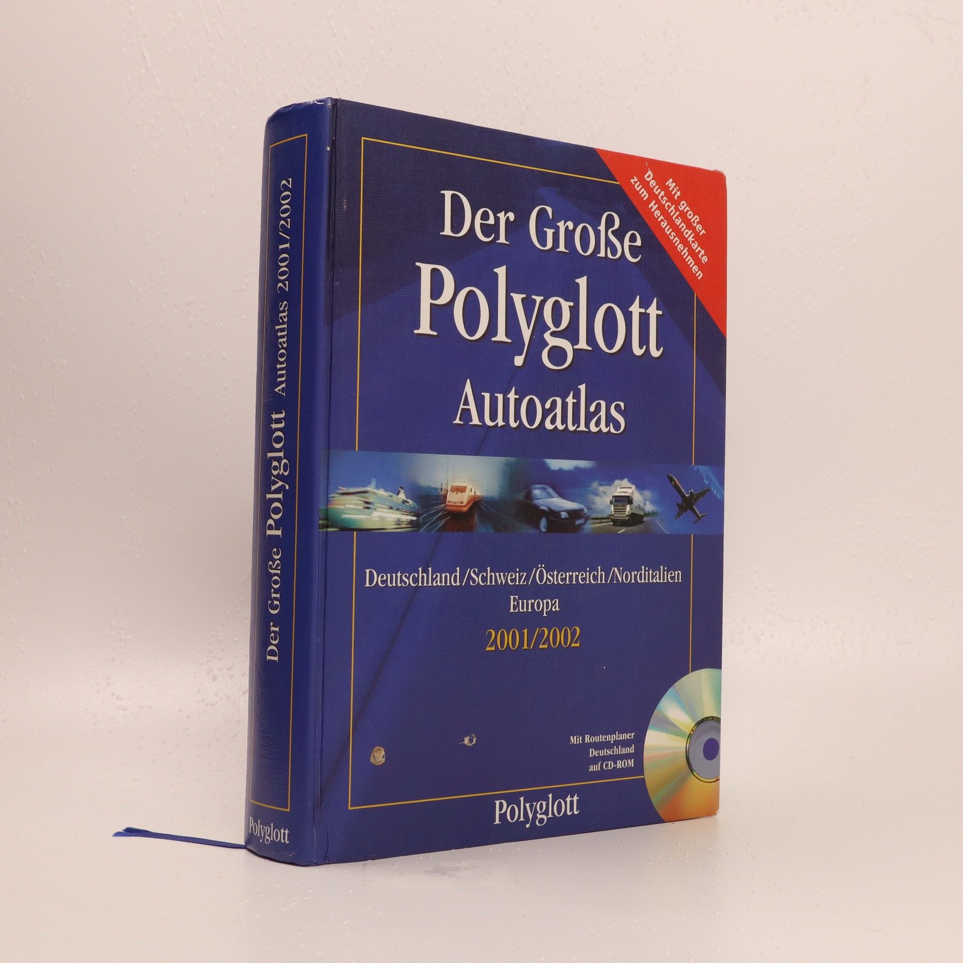
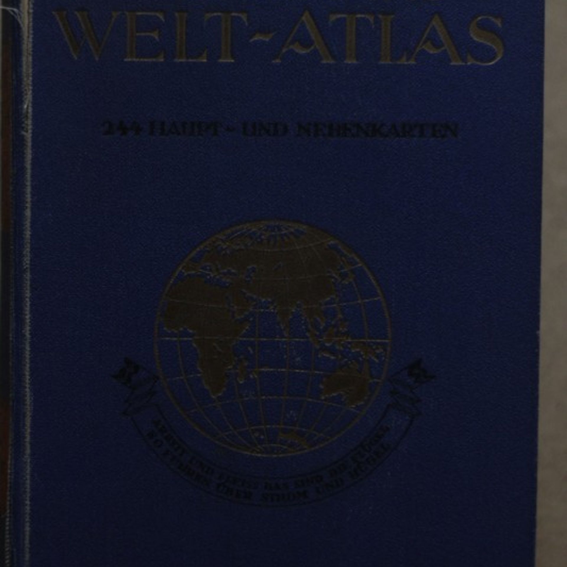
Der grosse Polyglott Autoatlas 2001/2002: Deutschland, Schweiz, Osterreich, Norditalien
Kolektív autorov


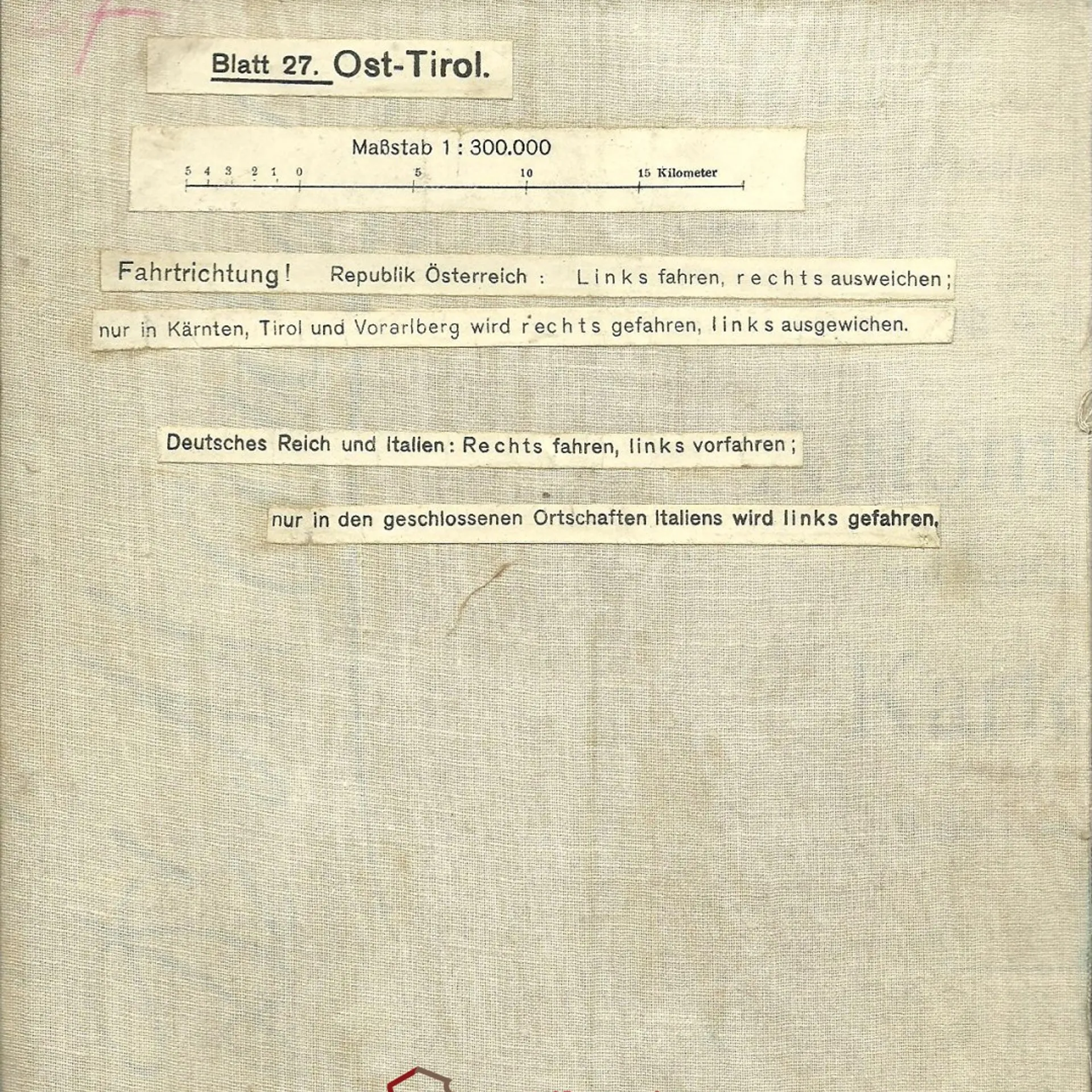
Freytag-Berndt's Automobil- und Radfahrerkarte. Blatt 27. Ost - Tirol. Massstab 1 : 300.000
Kolektív autorov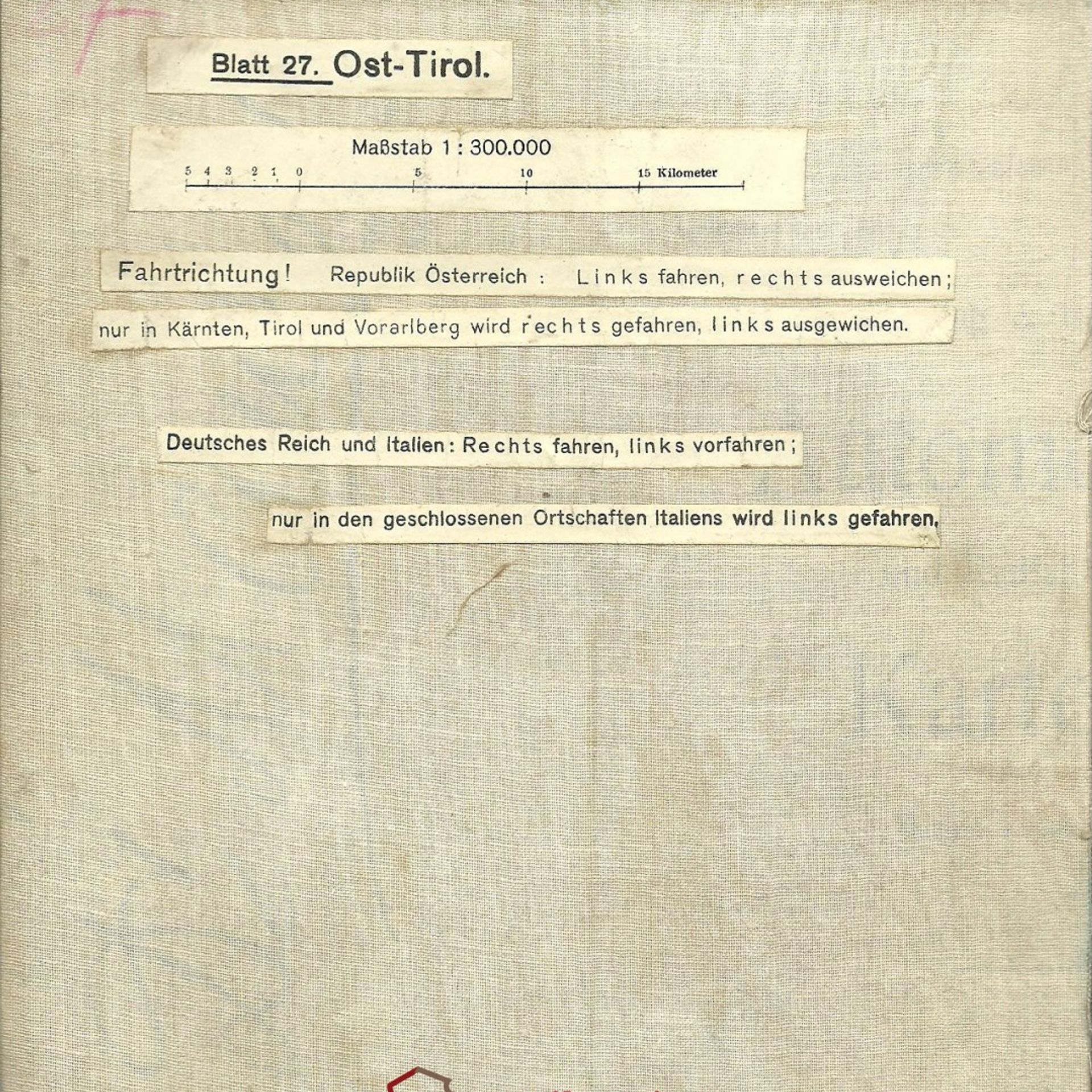
Freytag-Berndt's Automobil- und Radfahrerkarte. Blatt 20. Brünn. Massstab 1 : 300.000
Kolektív autorov
Freytag-Berndt's Automobil- und Radfahrerkarte. Blatt 24. Ober-Österreich. Massstab 1 : 300.000
Kolektív autorov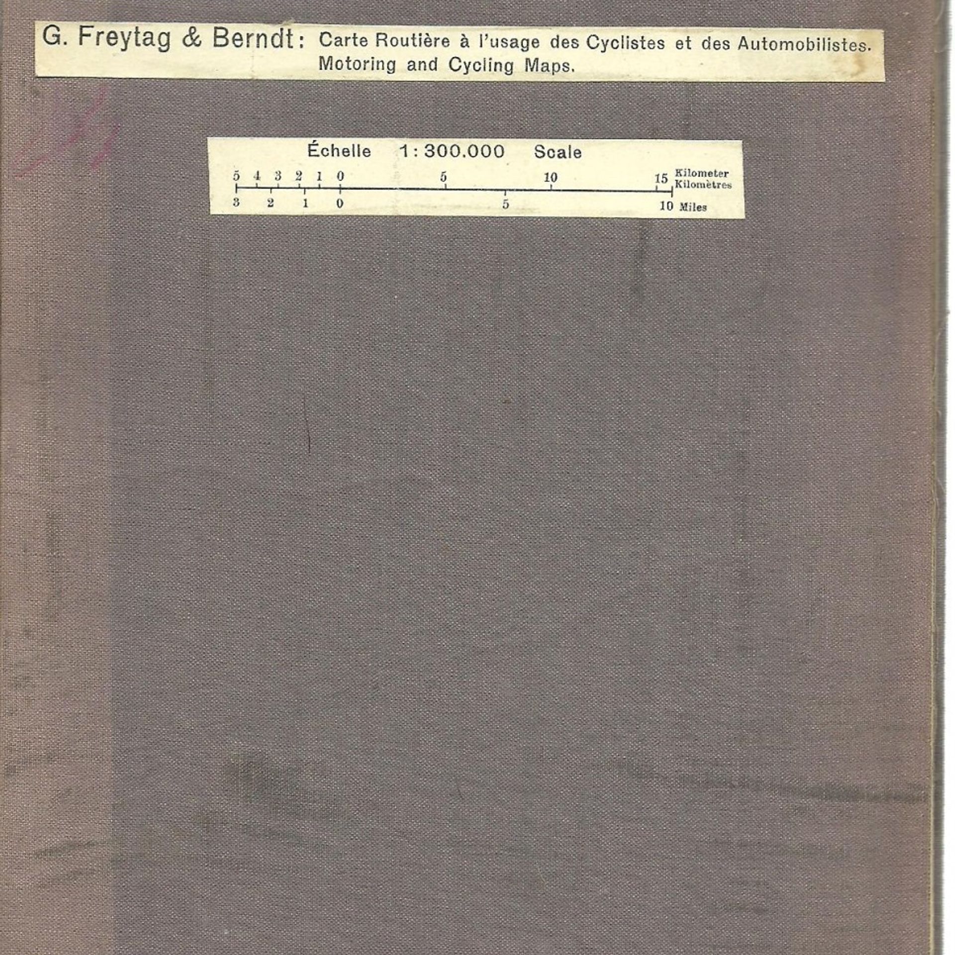
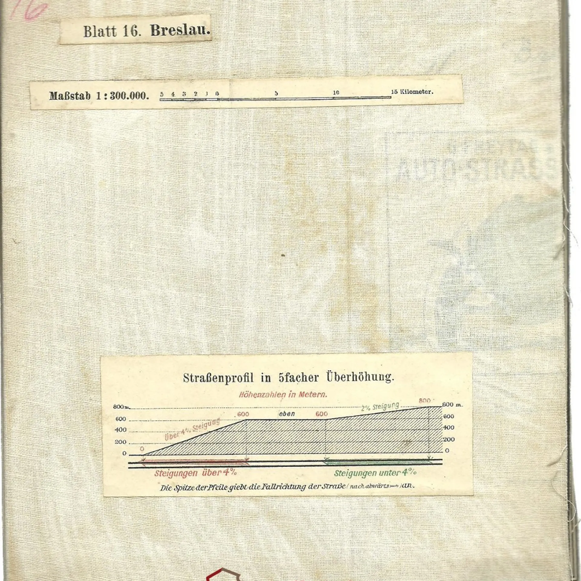
Freytag-Berndt's Automobil- und Radfahrerkarte. Blatt 16. Breslau. Massstab 1 : 300.000
Kolektív autorov
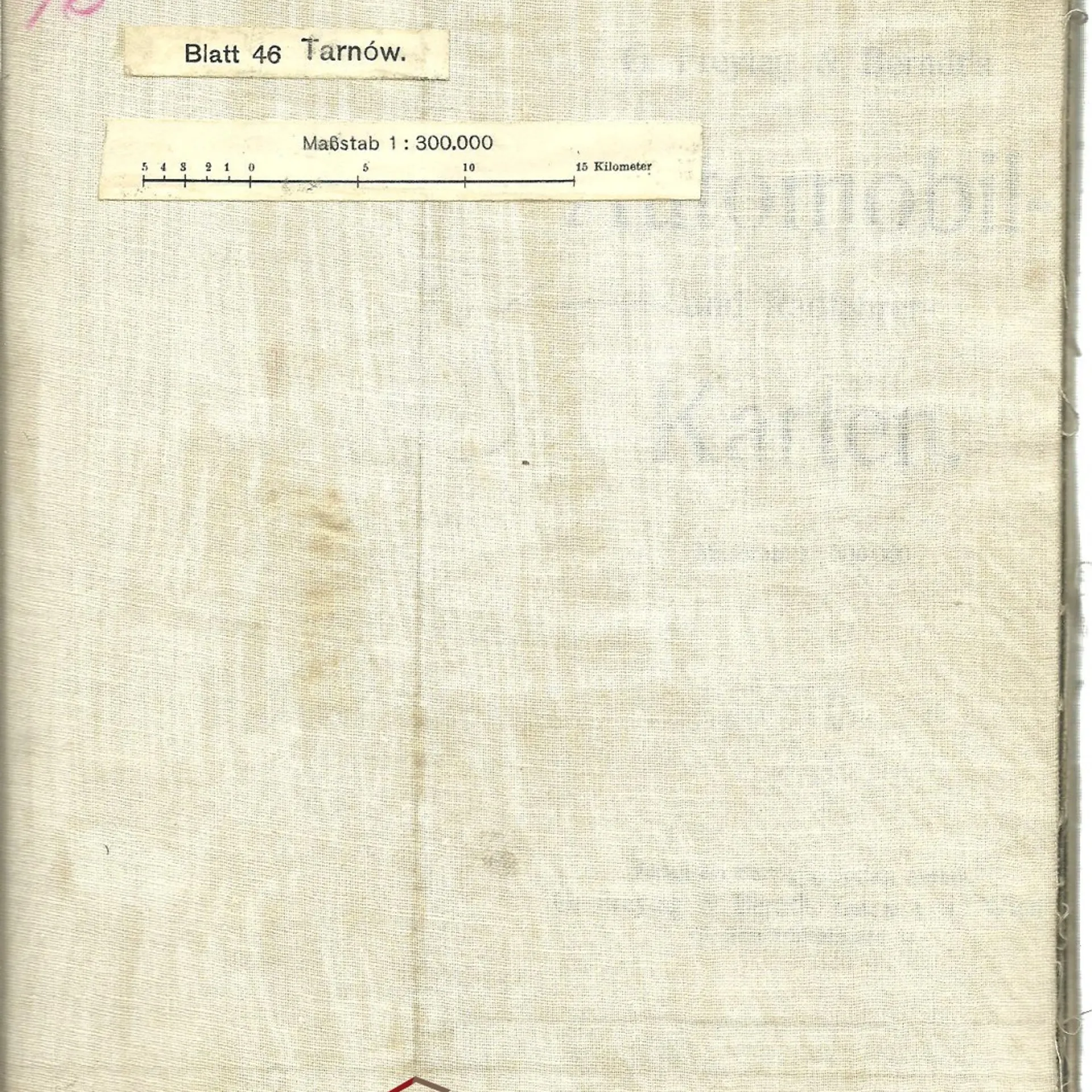
Freytag-Berndt's Automobil- und Radfahrerkarte. Blatt 46. Tarnów. Massstab 1 : 300.000
Kolektív autorov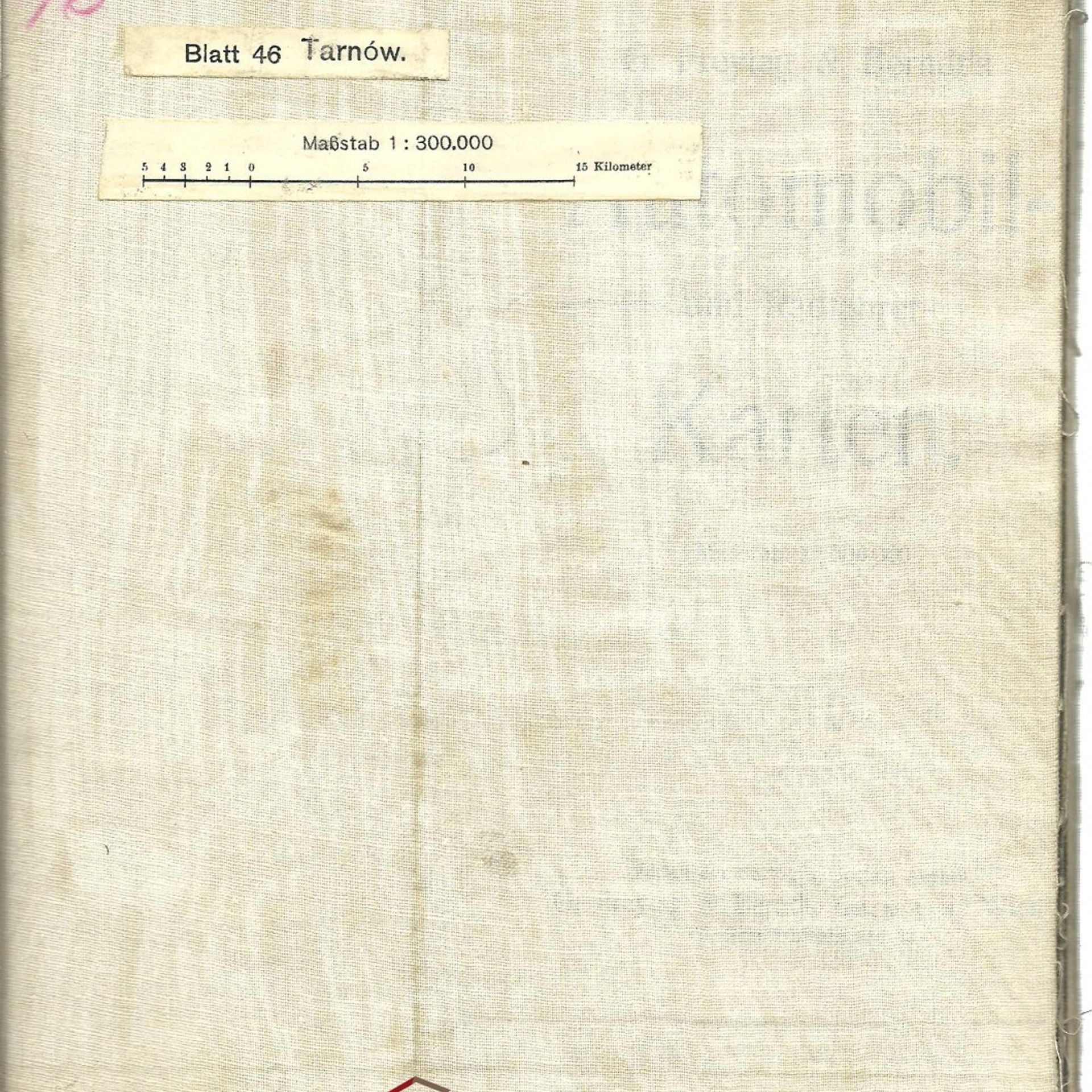
Freytag-Berndt's Automobil- und Radfahrerkarte. Blatt 23. München. Massstab 1 : 300.000
Kolektív autorov
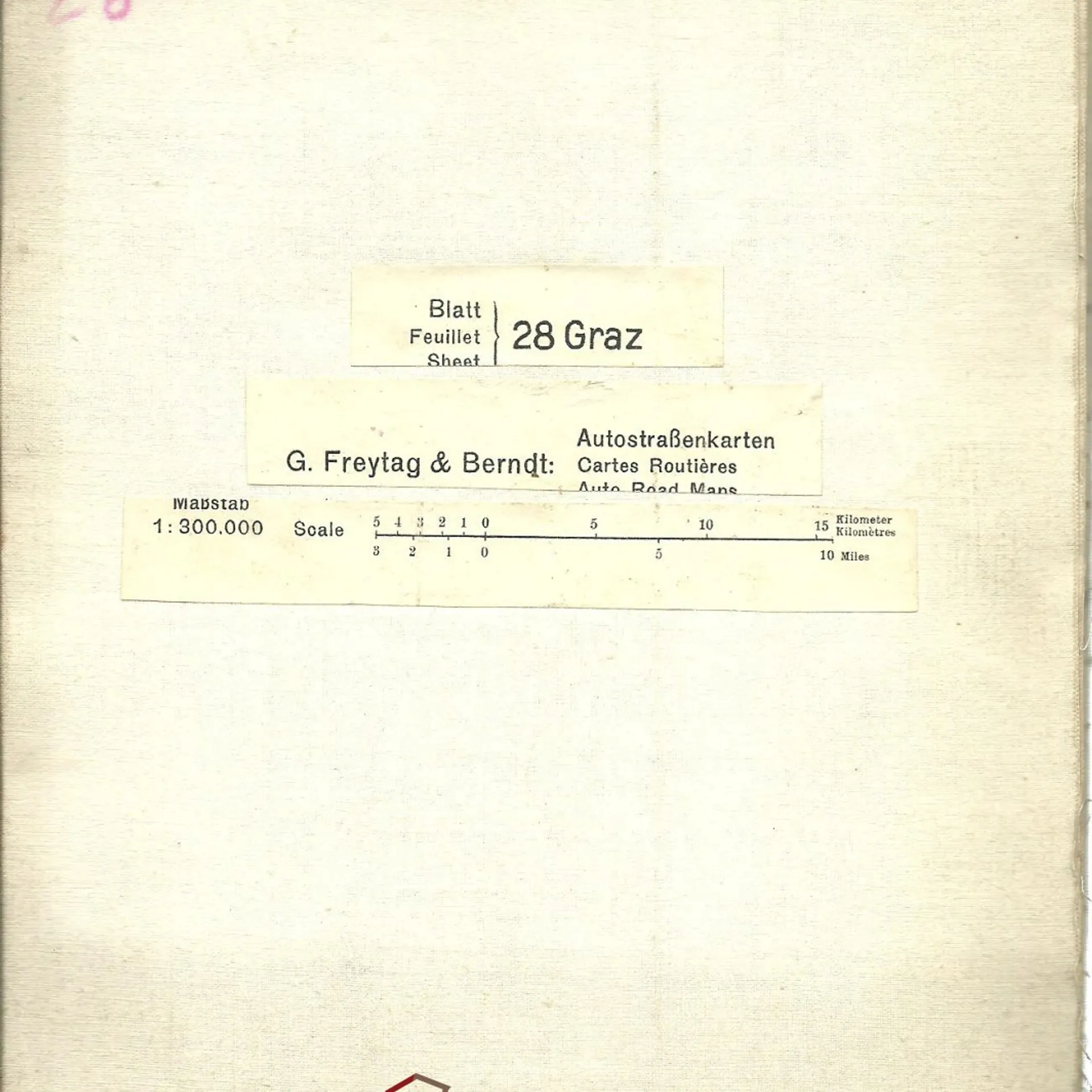
Freytag-Berndt's Automobil- und Radfahrerkarte. Blatt 28. Graz. Massstab 1 : 300.000
Kolektív autorov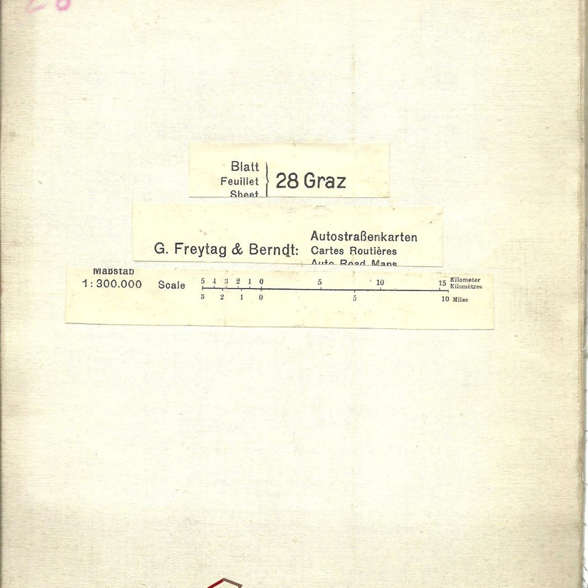
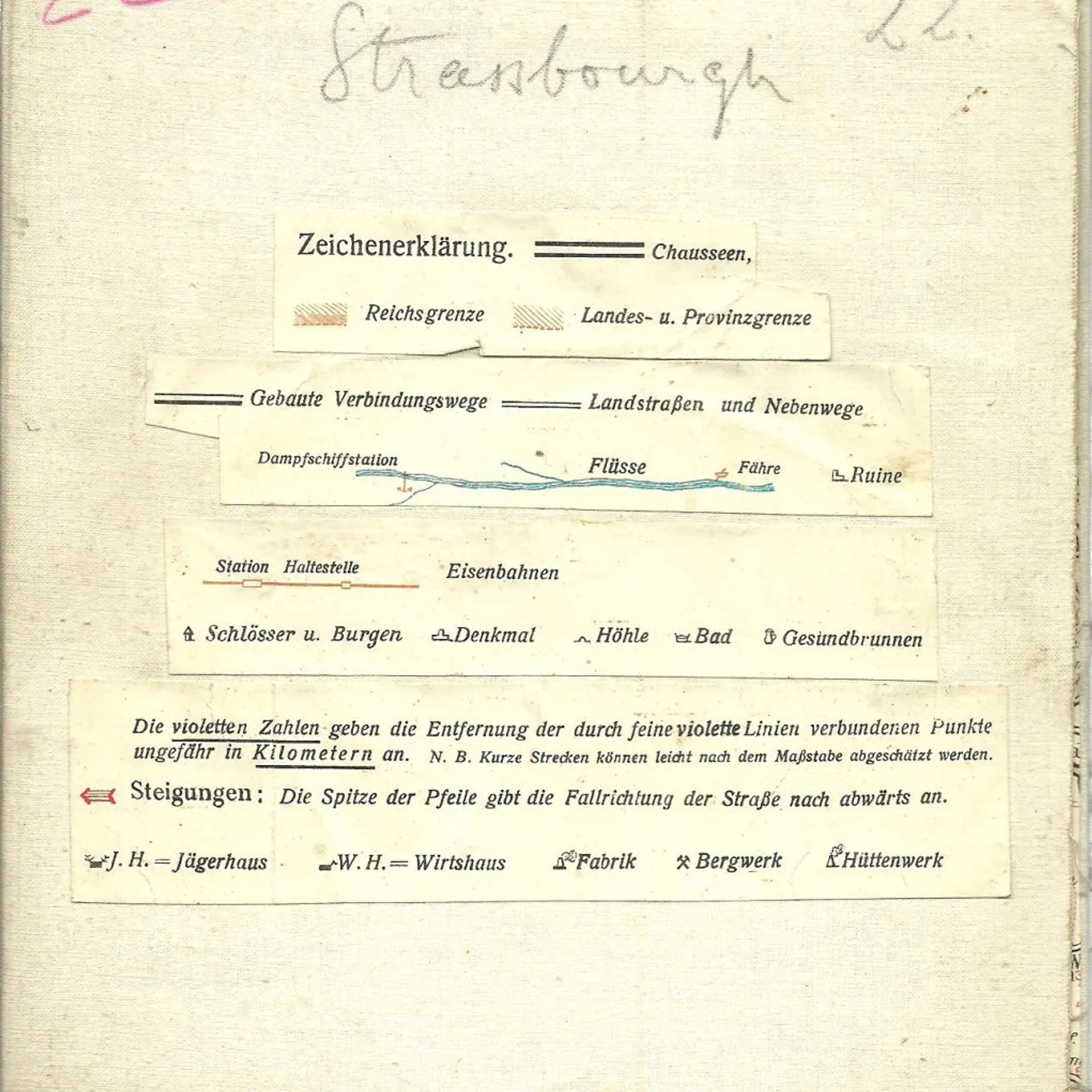
Freytag-Berndt's Automobil- und Radfahrerkarte. Blatt 22. Strassburg. Massstab 1 : 300.000
Kolektív autorov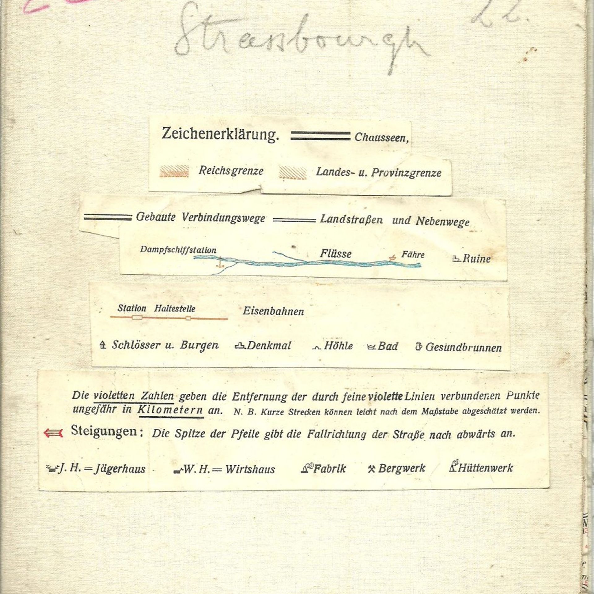
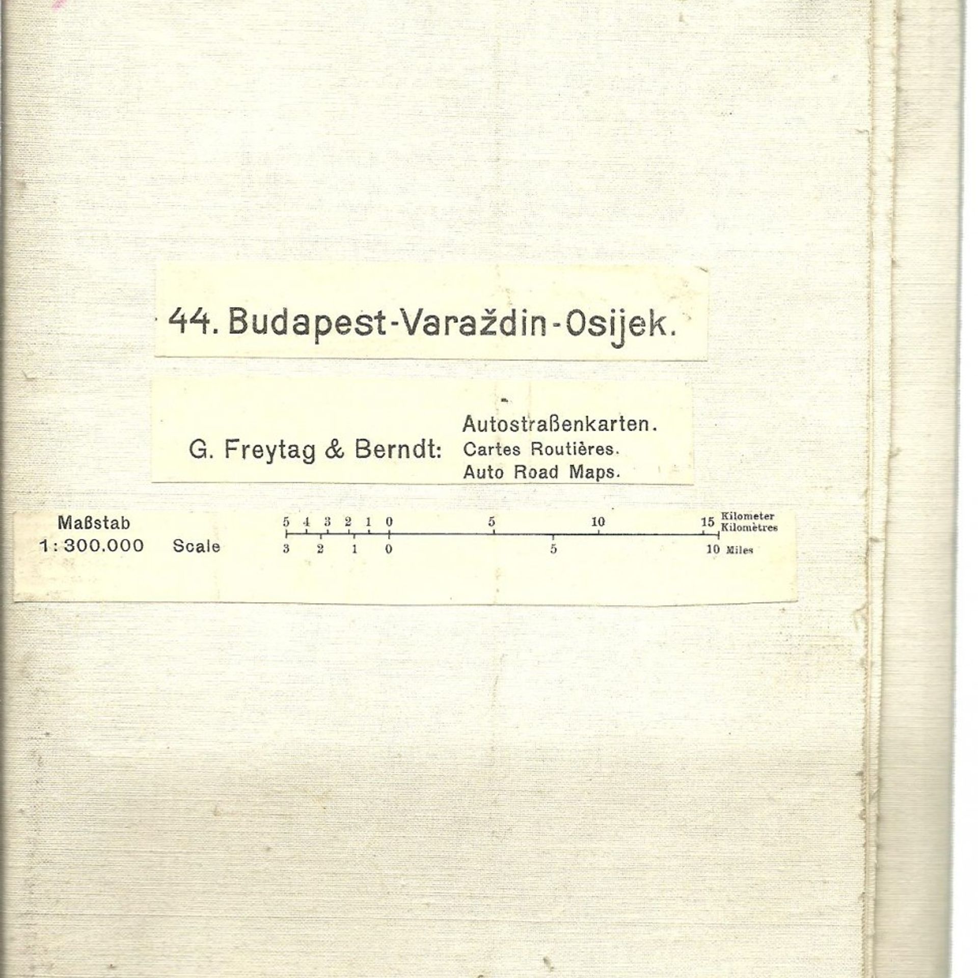
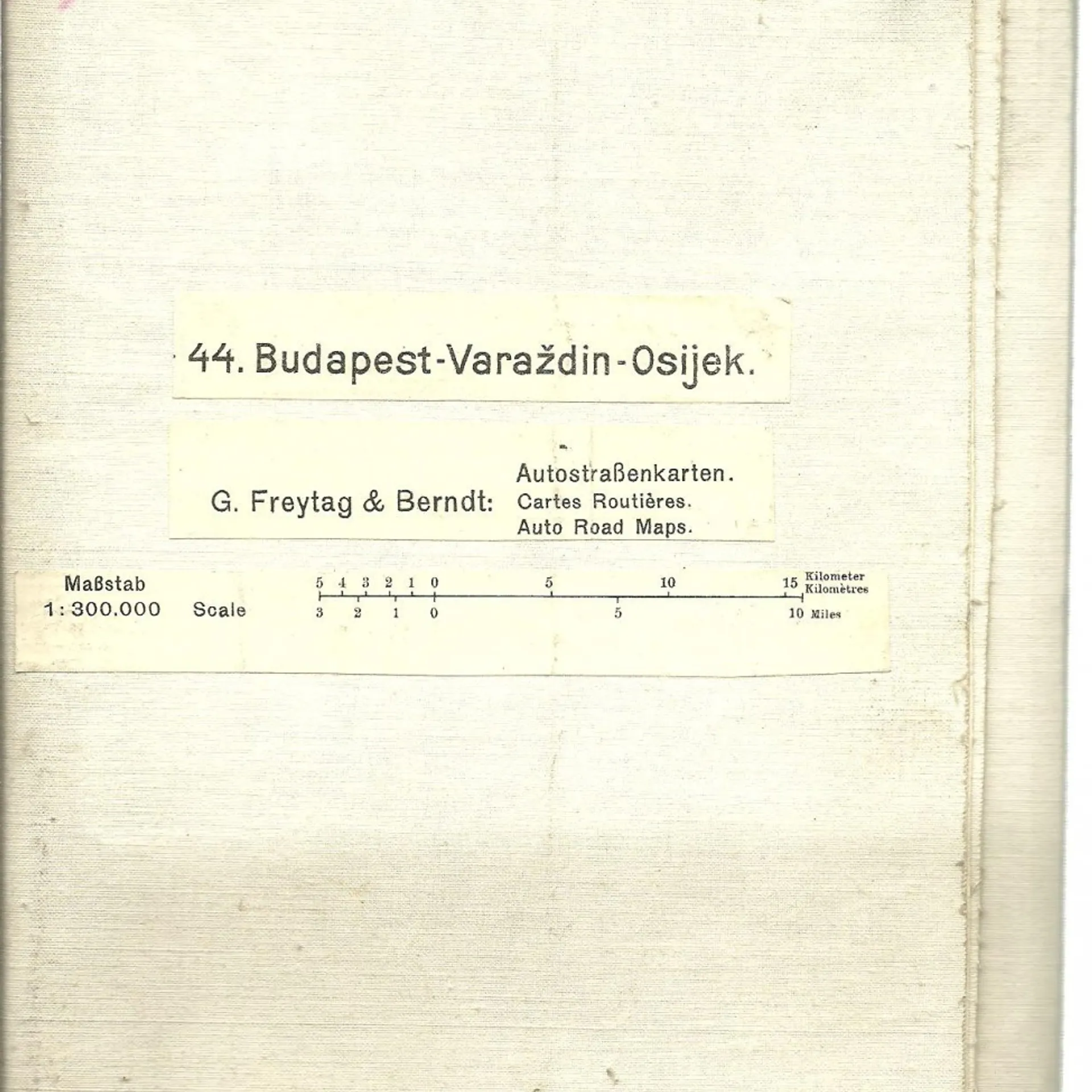
Freytag-Berndt's Automobil- und Radfahrerkarte. Blatt 44. Budapest - Varaždin - Osijek. Massstab 1 : 300.000
Kolektív autorov