
Presne táto pôjde do košíka

Parametre
Viac o knihe
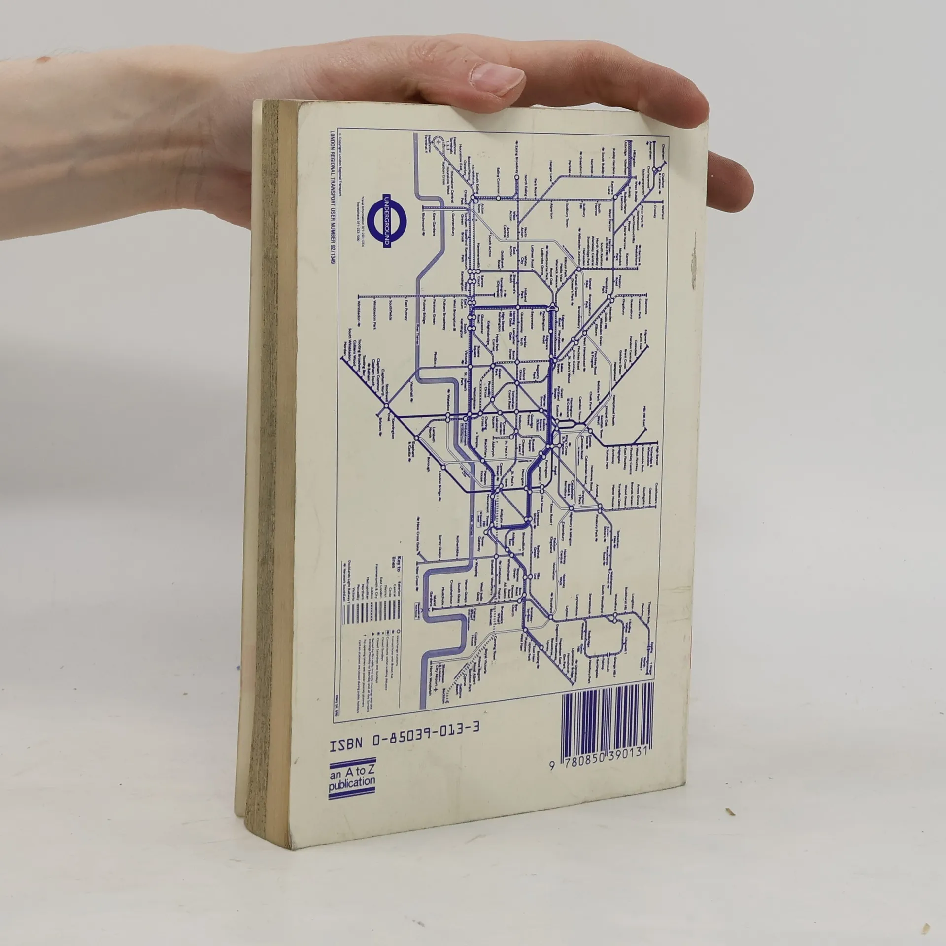
Contains street maps at scale 3" to 1 mile, 11 pages of 4.5" to 1 mile maps covering the congested central area, an Underground map and West End cinema and theatre maps. Coverage extends to Stanmore, Barnet, Enfield, Woodford, Dagenham, Woolwich, Bromley, Croydon, Surbiton, Southall and Harrow.


Nákup knihy
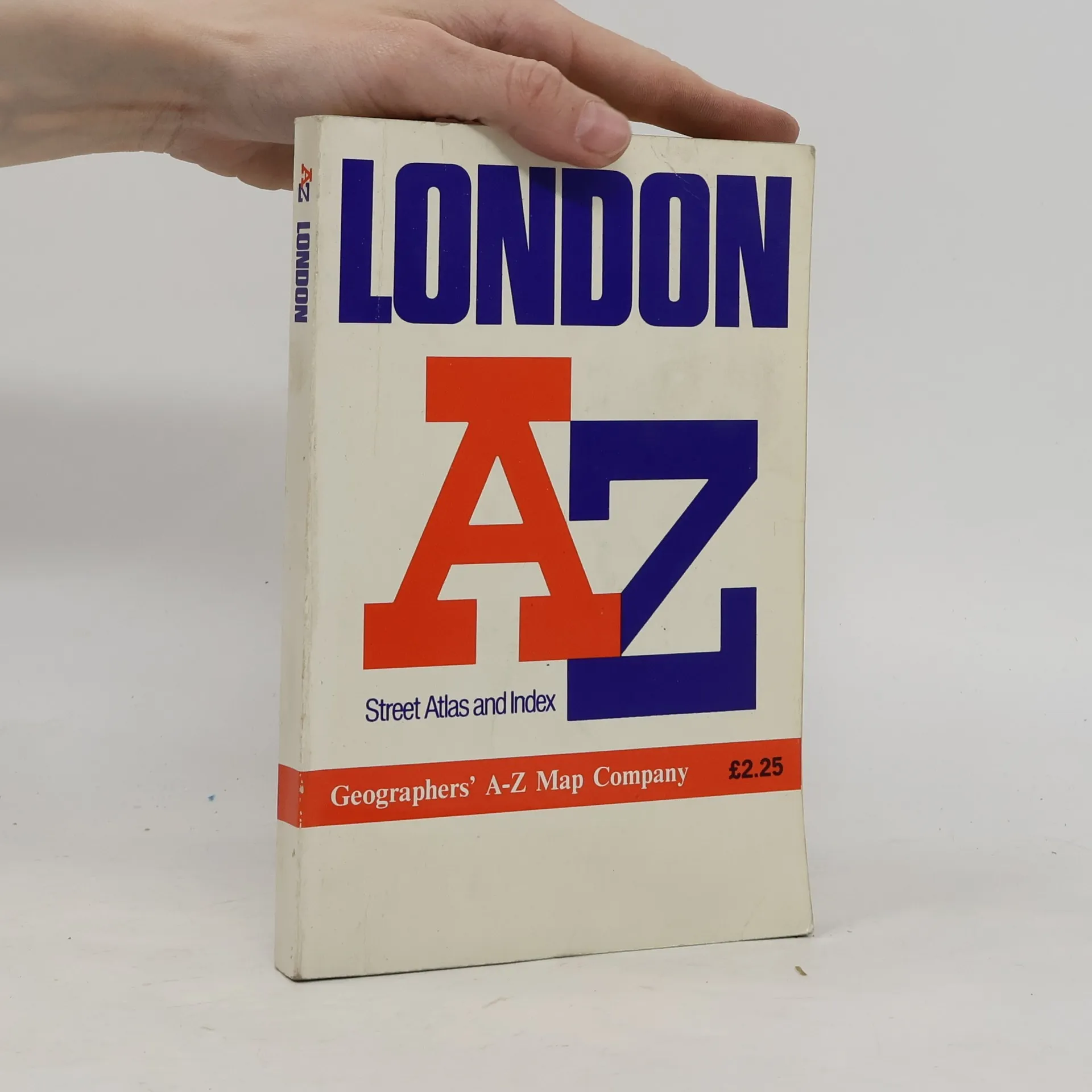
AZ London Street Atlas, Kolektív autorov
- Jazyk

- Rok vydania
- 1990
- product-detail.submit-box.info.binding
- (mäkká),
- Stav knihy
- Dobrá
- Cena
- 1,99 €
Kúpte si túto knihu iba za 1 €
Platobné metódy
Tu nám chýba tvoja recenzia
- Titul
- AZ London Street Atlas
- Podtitul
- Street Atlas Index
- Jazyk
- anglicky
- Autori
- Kolektív autorov
- Vydavateľ
- Geographers' A-Z Map Company
- Rok vydania
- 1990
- Väzba
- mäkká
- ISBN10
- 0850390133
- ISBN13
- 9780850390131
- Série
- Hodnotenie
- 4,45 z 5
- Anotácia
- Contains street maps at scale 3" to 1 mile, 11 pages of 4.5" to 1 mile maps covering the congested central area, an Underground map and West End cinema and theatre maps. Coverage extends to Stanmore, Barnet, Enfield, Woodford, Dagenham, Woolwich, Bromley, Croydon, Surbiton, Southall and Harrow.