
Miláčik čitateľov je práve vypredaný


Viac o knihe
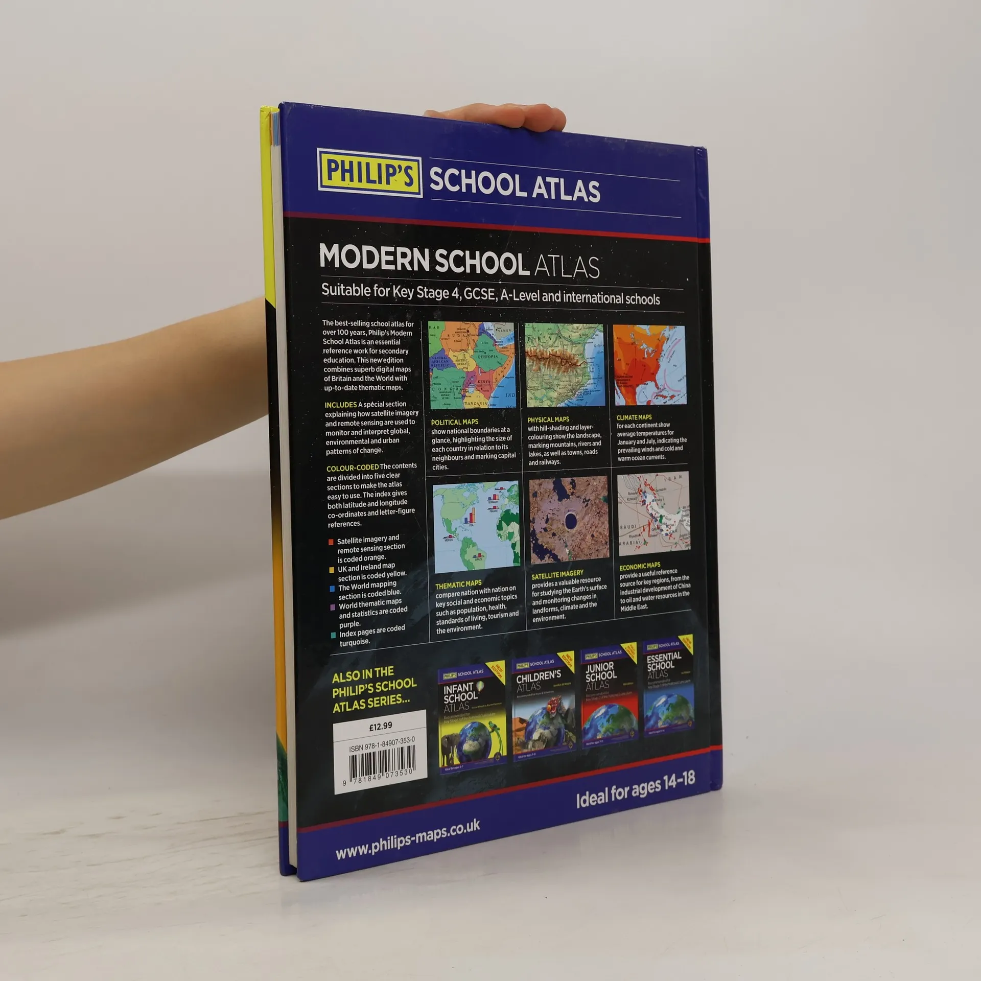
A 10-page Remote Sensing section covers such topics as satellite imagery and GIS (with an explanation of false-colour usage), incorporating a selection of images used in studies of exploration, land reclamation, erosion, geology, pollution and urban regeneration, with explanatory text


Nákup knihy
Philip's modern school atlas, Royal Geographical Society (with The Institute of British Geographers)
- Jazyk

- Rok vydania
- 2015
- product-detail.submit-box.info.binding
- (pevná)
Akonáhle sa objaví, pošleme e-mail.
Platobné metódy
Tu nám chýba tvoja recenzia
- Jazyk
- anglicky
- Vydavateľ
- Philip's
- Rok vydania
- 2015
- Väzba
- pevná
- Počet strán
- 184
- ISBN10
- 1849073538
- ISBN13
- 9781849073530
- Série
- Hodnotenie
- 3,25 z 5
- Anotácia
- A 10-page Remote Sensing section covers such topics as satellite imagery and GIS (with an explanation of false-colour usage), incorporating a selection of images used in studies of exploration, land reclamation, erosion, geology, pollution and urban regeneration, with explanatory text