
Vypredané
Viac o knihe
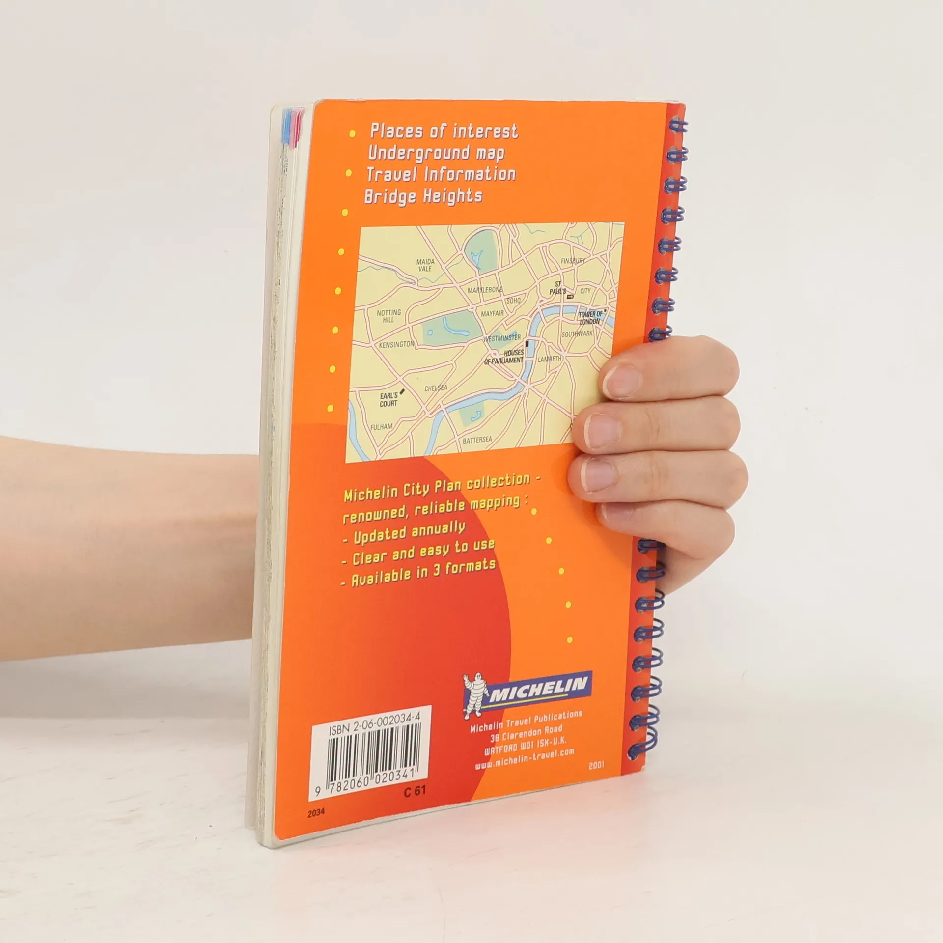
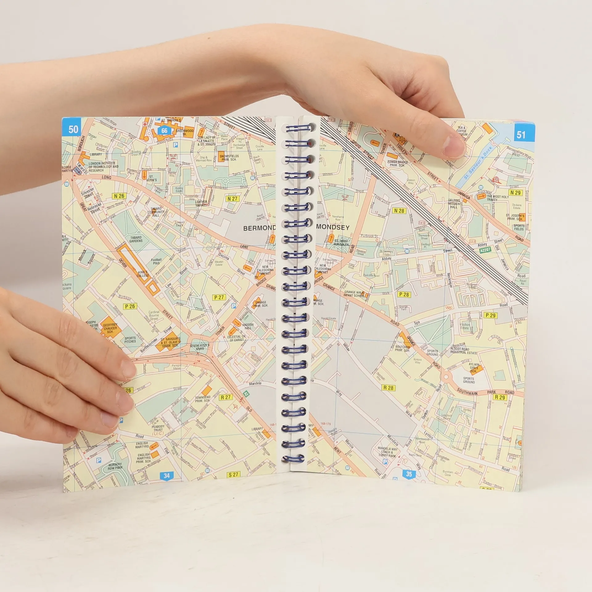
Spiral format street plan with index. Includes practical information, one way streets, car parks, taxi ranks, public transport, public buildings and post offices. 1/10000 - 1cm = 100m.
Nákup knihy
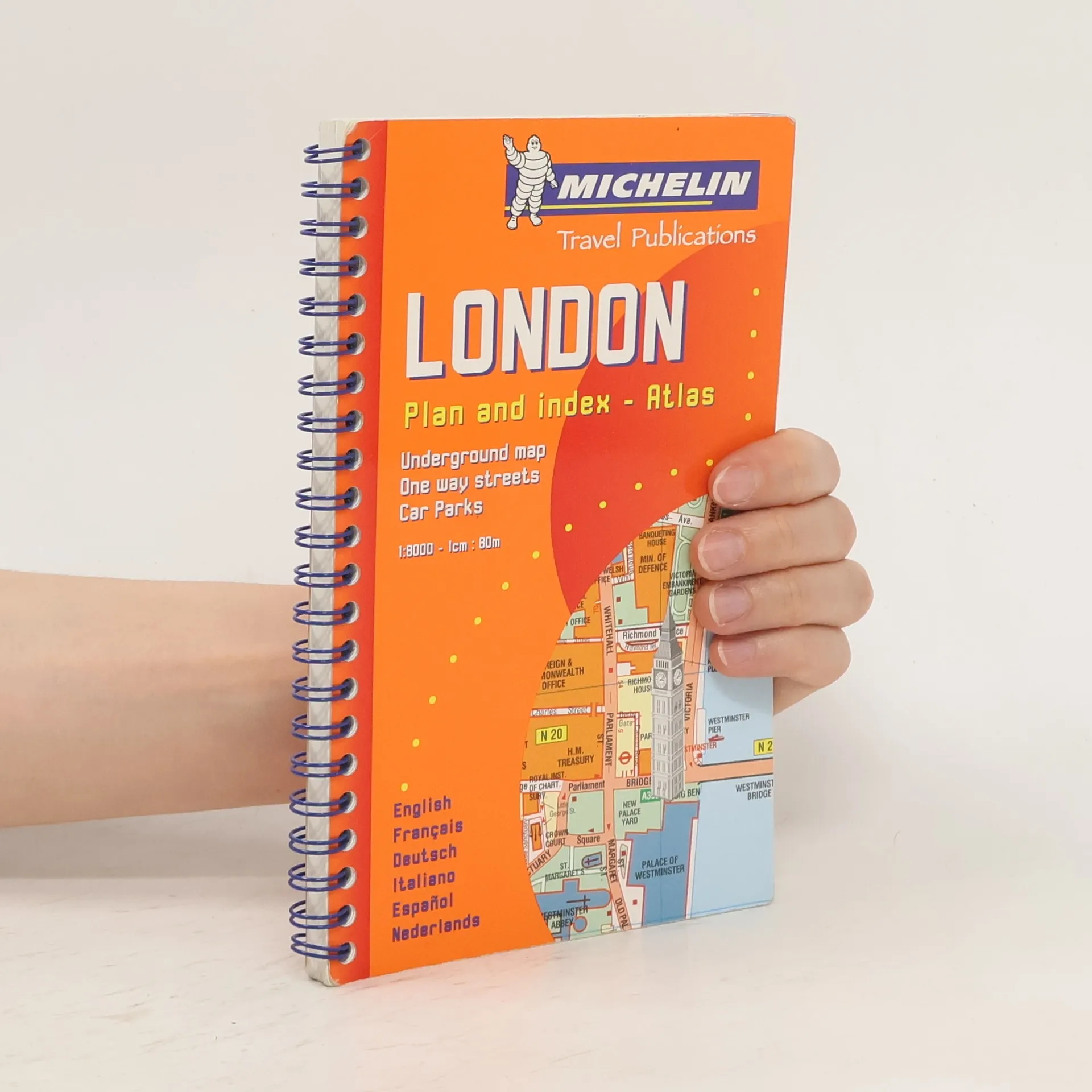
London Plan and Index-atlas, Kolektív autorov
- Jazyk


- Rok vydania
- 2000
- product-detail.submit-box.info.binding
- (leporelo)
Akonáhle sa objaví, pošleme e-mail.
Platobné metódy
Tu nám chýba tvoja recenzia
- Titul
- London Plan and Index-atlas
- Jazyk
- anglicky, nemecky, francúzsky, španielsky, taliansky, holandsky
- Autori
- Kolektív autorov
- Vydavateľ
- Michelin
- Rok vydania
- 2000
- Väzba
- leporelo
- Počet strán
- 164
- ISBN10
- 2060020344
- ISBN13
- 9782060020341
- Série
- Štítky
- Detská literatúra, Leporelá, Veľká Británia, Londýn
- Hodnotenie
- 4 z 5
- Anotácia
- Spiral format street plan with index. Includes practical information, one way streets, car parks, taxi ranks, public transport, public buildings and post offices. 1/10000 - 1cm = 100m.